What is recorded here
From the National Monuments Service (Archaeological Survey of Ireland) record WA030-074
The monument record does not grant public access. Check the route and ask the landowner before entering private land.
- What survives
- Recorded monument
Places near here
 farmyard complex1.5 mi
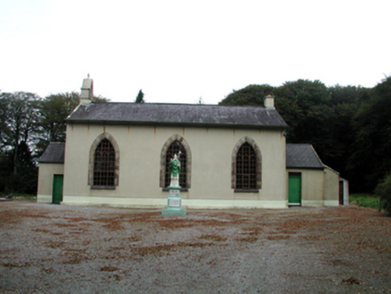 Saint Patrick's Catholic ChurchOfficially recorded historic building · 1.6 mi
 Saint Declan's Holy WellSpring · 2.6 mi
 Ogham StonesOgham stone · 4.2 mi
 Battle of AffaneMajor battlefield · 5.0 mi
 Dromana GateHeritage attraction · 5.2 mi
 Clashmore Heritage CentreHeritage attraction · 5.5 mi
 Tourin CastleCastle, tower house · 5.6 mi
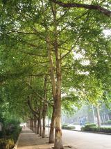 London Plane5.6 mi
 Sweet Chestnut6.4 mi
Pictures: National Inventory of Architectural Heritage; Hywel Williams, Geograph · Creative Commons Attribution-ShareAlike 2.0; Hywel Williams, Wikimedia Commons · CC BY-SA 2.0; TheLizardQueen, Wikimedia Commons · CC BY 2.0; Liam Hughes, Wikimedia Commons · CC BY 2.0; MonikaLisa2, Wikimedia Commons · CC BY-SA 4.0; Mike Searle, Wikimedia Commons · CC BY-SA 2.0; Taken by Fanghong, Wikimedia Commons · CC BY-SA 3.0; Miguel Angel Masegosa Martínez, Wikimedia Commons · CC BY 2.0
More archaeology and monuments in County Waterford · All of County Waterford
What do you know about this place?