DDiscover AloneMapAbout

Fairy fort or earthen ringfort in Barnycarroll

Fairy fort / earthen ringfort
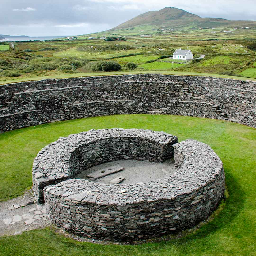
Computer-made picture that does not show Fairy fort or earthen ringfort in BarnycarrollNot a photo of this monument
Computer-made picture. It does not show this monument. · Report the wrong picture

The monument record does not grant public access. Check the route and ask the landowner before entering private land.

What do you know about this place?Tap to add a comment or ask a question

What you write will be public.

What is recorded here

In good pasture, located on an elevation in gently undulating terrain, with excellent views in all directions. This well preserved trivallate rath consists of a high circular platform (31m N–S; 27.6m E–W) defined by a substantial earthen bank, enclosed by a fosse with external bank, outside which is a second fosse…

Read the whole record
In good pasture, located on an elevation in gently undulating terrain, with excellent views in all directions. This well preserved trivallate rath consists of a high circular platform (31m N–S; 27.6m E–W) defined by a substantial earthen bank, enclosed by a fosse with external bank, outside which is a second fosse with an external bank. The innermost bank (Wth 5.5m at N and S; int. H 1.3m at N and S; ext. H 2.5m at N, 3m at S) has a relatively broad and flat top. The internal slope has remnants of stone facing in the form of large, blocky stones protruding from the sod. Stones also protrude from the high external slope but appear more random; some may even be rock outcrop. The second/middle bank (Wth 3m at N and S; int. H 0.7m at N, 0.45m at S; ext. H 0.7m at N, 0.5m at S) is well defined for the W half of its circuit, but it is reduced at NNE−S to a flat, berm-like terrace. At SE–S this berm is almost flush with the level of the inner fosse, separated from it only by a narrow line of stones, possibly the remnants of a kerb. The third/outermost bank (Wth 2.5 at N, 3.2m at S; int. H 1.2m; ext. H 1.4-1.6m) is steep-sided, with stones protruding randomly in parts around its circuit. It served as a field boundary and several field walls radiate from it to NW, NE, E and SW. It is possible that this outermost bank is not a primary feature. A section (L 6m) of it has been rebuilt with stone walling at SE. The rath entrance consists of a gap (Wth 2.9m) in the inner bank at ESE, with a large slab on the N inner face. It opens onto a slightly sunken passageway flanked by a low earth and stone bank leading across the innermost fosse to a corresponding gap in the second/middle bank. There is a hint of a causeway across the second fosse but no corresponding break is evident in the outermost bank. The entrance faces a broad low rise outside the rath which may have provided a natural access ramp or approach to the site. The rath interior is level and contains a Man-made underground passage (MA102-002002-), surface openings to which are evident in the SW quadrant and to W of centre as well as in the inner bank at WSW. Interior grassy; hawthorn and gorse on the perimeter, particularly on the W half. There is a rath (MA102-001----) 235m to N and an enclosure and a rath (MA102-052----; MA092-060001-) 270m and 363m to NW, respectively.

From the National Monuments Service (Archaeological Survey of Ireland) record MA102-002001

Places near here

Photo credits
  • Andreas F. Borchert, Wikimedia Commons · CC BY-SA 4.0
  • Maker not stated on source page, www.dreamstime.com
  • Maker not stated on source page, uk.pinterest.com
  • National Inventory of Architectural Heritage
  • Mike Searle, Geograph · CC BY-SA 2.0
  • Harry Murphy / Sportsfile, via Western People, www.westernpeople.ie
  • Kmcnamee, Wikimedia Commons · CC BY-SA 4.0
  • Maker not stated on source page, monumentalireland.ie
  • Maker not stated on source page, www.pinterest.com
Ballinsmaula Abbey (in Ruins)Religious house, Carmelite friars · 1.1 mi

Explorer Tom Ballinsmaula Abbey is where a priest lost a bet involving a donkey and a harp. The Carmelites probably laughed it off…

CastleCastle, unclassified · 1.2 mi

Explorer Tom Castle in Cartronnacross makes a weird creaking sound at night that sounds suspiciously like a ghost clearing its…

Church (ruins)Church · 1.7 mi

Explorer Tom Church in Kilcolman is dedicated to St. Colman, who clearly didn’t read the map because he ended up at the bottom of a…

Ballyhowly Castle (Ruins)Castle, tower house · 2.0 mi

Explorer Tom Ballyhowly Castle is a tower house that would tell its replacement: 'You're doing it all wrong'. It’s just a big stone…
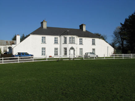
Ballyhowly HouseFarm house · 2.0 mi

Explorer Tom Ballyhowly House in Ballyhowly was built in 1801 for Peter Rutledge, right next to a medieval castle that was still…

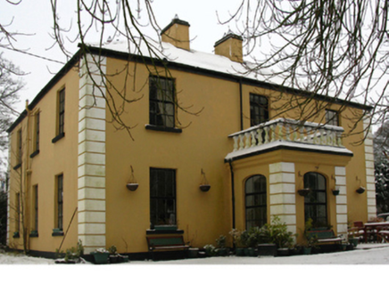
Claremount HouseCountry house · 2.3 mi

Explorer Tom Claremount House in Claremount would spend its lotto win on a very large hat for the roof. It was built for a Colonel…
presbytery/parochial/curate's house2.6 mi

Explorer Tom Presbytery in Claremount is having a dramatic feud with the nearest tree over who has better views of the estate. It…
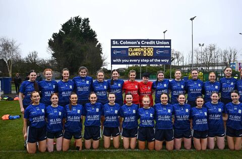
Claremorris GAAGAA ground · 2.6 mipost box2.6 mi

Explorer Tom Post box in Claremount smells like old iron and regret, according to Tom. The Irish lettering on it is trying its best…

Brickens GAA Pitch, Eastern Gaels GAAGAA ground · 3.9 miFairy fort / earthen ringfort in Castlemagarret NorthFairy fort / earthen ringfort · 4.0 mi

Explorer Tom Fairy fort / earthen ringfort in Castlemagarret North sits there looking smug because it knows it’s seen better…

Megalithic structure in FallakeeranMegalithic structure · 6.0 mi

Explorer Tom Megalithic structure in Fallakeeran would make Saint Patrick stop mid-sermon to ask for directions. It’s big enough to…

More archaeology and monuments in County Mayo · All of County Mayo

Add to this placeAdd a picture Add a detailed tip Add a story

Explore the map1,095,414 places to discover

Next place · or swipeBallinsmaula Abbey (in Ruins)