What is recorded here
In garden and driveway to E of two-storey house. Remains of sub-circular area (dims. 46m N-S; 52m E-W) defined by earthen scarp (Wth 2m; H 0.8m) NW-E-SW, wall SW-W, two-storey house to W and stone wall and entrance W-NW. Scarp (Wth 1.1m; H 1.15m) retained by wall (T 0.15m; H 0.7m) of rubble stone and mortar intermittent NW-E and continuous E-S. Exterior fosse (Wth 2.9m; D 0.6m) NW-E-SW is choked with overgrowth and dead wood SSE-SW. Interior incorporated into garden in eastern two-thirds and into a driveway and turning area in western third.
Compiled by: Jean Farrelly
Date of upload: 26 August 2011
A local fairy fort (ringfort/rath); wider significance not recorded.
The monument record does not grant public access. Check the route and ask the landowner before entering private land.
- What survives
- Recorded monument
Places near here
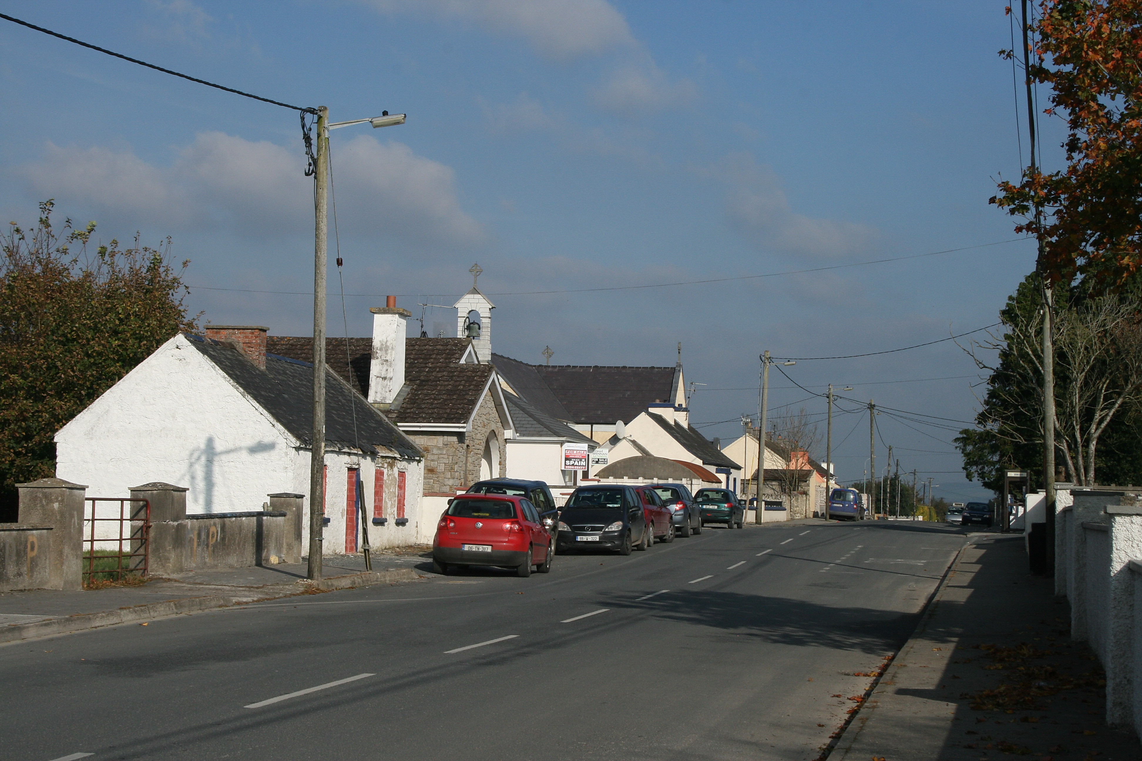 RaheenroeEnclosure · 858 yd
 Enclosure in FarransheaEnclosure · 1200 yd
 Ballinard CastleCastle, tower house · 1409 yd
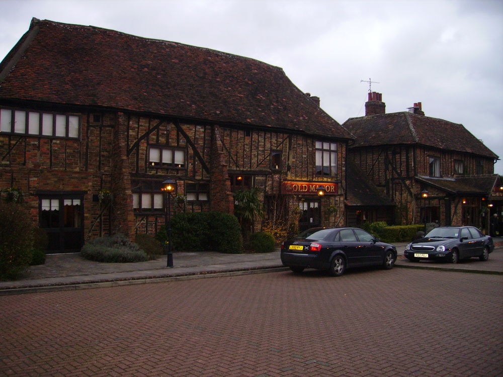 Old Manor Ho. (in ruins)House, 17th century · 1.0 mi
 Brook Hillhouse · 1.1 mi
 Clare Castle (in ruins)Castle, hall-house · 1.2 mi
 Pedunculate OakPedunculate Oak · 1.9 mi
 Kilknockan HillMountain / peak · 2.2 mi
 East GateMemorial · 2.3 mi
 European YewEuropean Yew · 2.4 mi
 CarrigdotiaMountain / peak · 2.7 mi
 Gobban Saer's GraveArchaeological place · 9.7 mi