
What is recorded here
Situated on a rise in an undulating landscape. It is depicted as a circular area (diam. c. 35m) with trees on the perimeter on the 1836 edition of the OS 6-inch map where it is describe as a ‘Fort’ and it is immediately adjacent to Baltrasna House. This is a raised grass-covered platform (diam. c. 40m) defined by a stone-faced scarp (H 1-1.4m) and with deciduous trees growing on the perimeter. There is no visible bank, fosse or entrance, and it may be a tree-ring.
The above description is derived from the published 'Archaeological Inventory of County Meath' (Dublin: Stationery Office, 1987). In certain instances the entries have been revised and updated in the light of recent research.
Compiled by: Michael Moore
Date of revision: 9 April 2019
The monument record does not grant public access. Check the route and ask the landowner before entering private land.
- What survives
- Recorded monument
Places near here
 Baltrasna FortArchaeological place · 179 yd
 Grandgate WoodWood · 891 yd
 Limekiln WoodWood · 892 yd
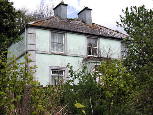 Riverviewhouse · 1381 yd
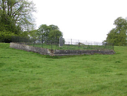 graveyard/cemeterygraveyard/cemetery · 1438 yd
 Moynalty Steam Threshing MuseumMuseum · 1520 yd
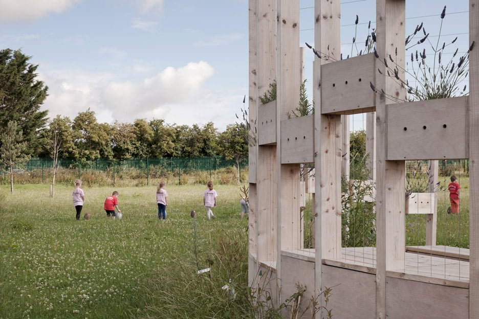 Moynalty Hedge SchoolArchaeological place · 1532 yd
 Castle (in Ruins)Castle, unclassified · 1.6 mi
 MountainpoleMountain / peak · 1.9 mi
 MaperathMountain / peak · 1.9 mi
 John Mac MahonMemorial · 2.2 mi
 MoatCastle, motte and bailey · 2.2 mi
Other information
Photo: Credit not shown in the picture search · Rights wording not checked; contact us if this picture should be removed