What is recorded here
On level, poorly drained pasture immediately N of the E-flowing Baltracey River. A 'Farmhouse' is depicted at this location on Noble and Keenan's 1752 Map of County Kildare, and is shown as a 'Slated Farm House' on Taylor's 1783 map of the county, which also shows a main road running N-S immediately W of the house. The 1st ed. (1838) of the OS 6-inch map shows that section of road beside the house as an avenue, the main road having been replaced by a realigned section to the W. The area W of the avenue is shown occupied by three buildings and a probable orchard. These buildings have since been levelled but a series of earthworks, visible on a 1968 aerial photograph (CUCAP AVO 87), survive on the ground. A series of low, poorly preserved earthworks cover a roughly rectangular area (dims. L c. 190m E-W; Wth c. 140m N-S). Remains of the former road/avenue survive along the N (est. L c. 90m) and E (est. L c. 120m) as an overgrown lane (Wth 4.3m) flanked along its S and W side by a denuded earthen bank (Wth c. 4m; H 0.3m) and drain (Wth 1m; D 1.2m), and along its N and E sides by a low earthen bank (Wth 2.8m; H 0.9m). To the W, a slightly raised rectangular area (dims. L c. 50m N-S; Wth c. 40m E-W) is defined by a low scarp (H 0.8-1.2m).
Compiled by: Gearóid Conroy
Date of upload: 10 June 2011
The monument record does not grant public access. Check the route and ask the landowner before entering private land.
- What survives
- Recorded monument
Places near here
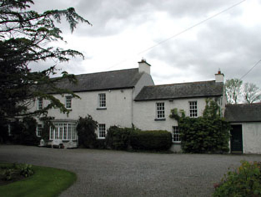 Baltracey Househouse · 914 yd
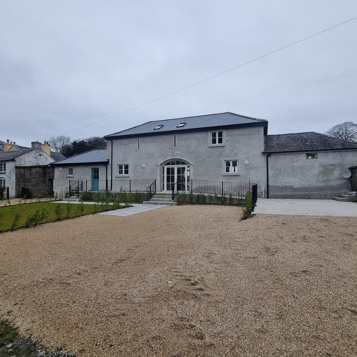 Enclosure in Baltracey (balraheen Ed)Enclosure · 933 yd
 Loughtown CovertWood · 1719 yd
 Killeen MoatEcclesiastical enclosure · 1.0 mi
 Catholic Church of the Sacred Heartchurch/chapel · 1.0 mi
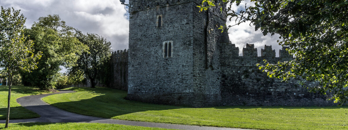 CastleCastle, Anglo-Norman masonry castle · 1.6 mi
 Mass was there in Penal TimesMemorial · 2.3 mi
 Queen Buans GraveCastle, motte and bailey · 2.4 mi
 Cocked Hat WoodWood · 2.8 mi
 Andrew FayMemorial · 4.1 mi
 Maynooth University South CampusHeritage attraction · 4.2 mi
 National Science MuseumMuseum · 4.3 mi