
What is recorded here
In generally level pasture which falls very gently to the S. A very large oval area (diams. c. 350m N-S; c. 250m E-W) is defined by a hedged field boundary bank SE-W-NE (skirted by a modern road S-NW), while from NE-E-SE a dry, shallow fosse (Wth 4.5m; D 0.2-0.3m) defines the site. A second, curving, inner fosse (Wth 4m; D 0.15m) is visible c. 30m N of the outer fosse SE-S-SW. A later, earthen field boundary runs E-W across the interior to S of centre and is abutted on its S side by a slightly raised, oval area (diams. 40m E-W; 25m N-S) defined by a very long (L 6-12m), low scarp (H 0.2-0.4m), which is named 'Killeen Moat' on the OS 6-inch map, which suggests an ecclesiastical association. (CUCAP AVO 78, AVR 11, 1968; Cullen 1999, 50-51)
Compiled by: Gearóid Conroy
Date of upload: 10 June 2011
The monument record does not grant public access. Check the route and ask the landowner before entering private land.
- What survives
- Recorded monument
Places near here
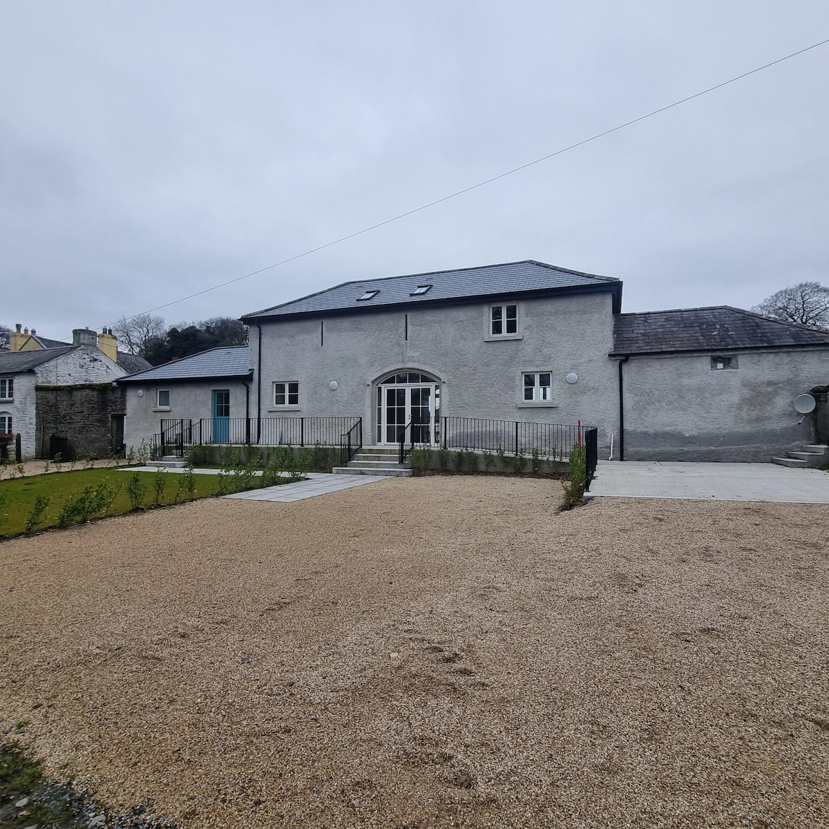 Enclosure in Baltracey (balraheen Ed)Enclosure · 1024 yd
 IndicatedFairy fort / earthen ringfort · 1510 yd
 Loughtown CovertWood · 1598 yd
 Donadea Forest ParkVisitor information · 1.5 mi
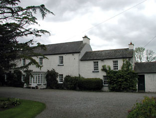 Baltracey Househouse · 1.5 mi
 Saint Peter's Church (Donadea)church/chapel · 1.6 mi
 Donadea CastleCastle, tower house · 1.6 mi
 9/11 MemorialMemorial · 1.7 mi
 Mass was there in Penal TimesMemorial · 2.5 mi
 Queen Buans GraveCastle, motte and bailey · 2.7 mi
 The Grill ShackHeritage attraction · 3.3 mi
 Cocked Hat WoodWood · 3.8 mi
Other information
Photo: Credit not shown in the picture search · Rights wording not checked; contact us if this picture should be removed