What is recorded here
Situated on a low rise of ground in grassland. Ringfort (WM011-124---) 55m to SE. Depicted on the 1837 OS 6-inch map as a rectangular-shaped tree-plantation which might suggest that this earthwork was a landscape feature of post-1700 date. Not depicted as an antiquity on any edition of the OS 6-inch maps. The levelled site is visible as a light coloured patch of grass (approx. dims. 17.7m NW-SE; 23.2m NE-SW) enclosed by a darker zone of vegetation (Wth 1.8m) presumably representing a fosse. Cropmark of levelled earthwork visible on Digital Globe aerial photograph taken November 2011.
Compiled by: Frank Coyne and Caimin O'Brien
Date of upload: 29 August 2017
The monument record does not grant public access. Check the route and ask the landowner before entering private land.
- What survives
- Recorded monument
Places near here
 Partially hachuredFairy fort / earthen ringfort · 78 yd
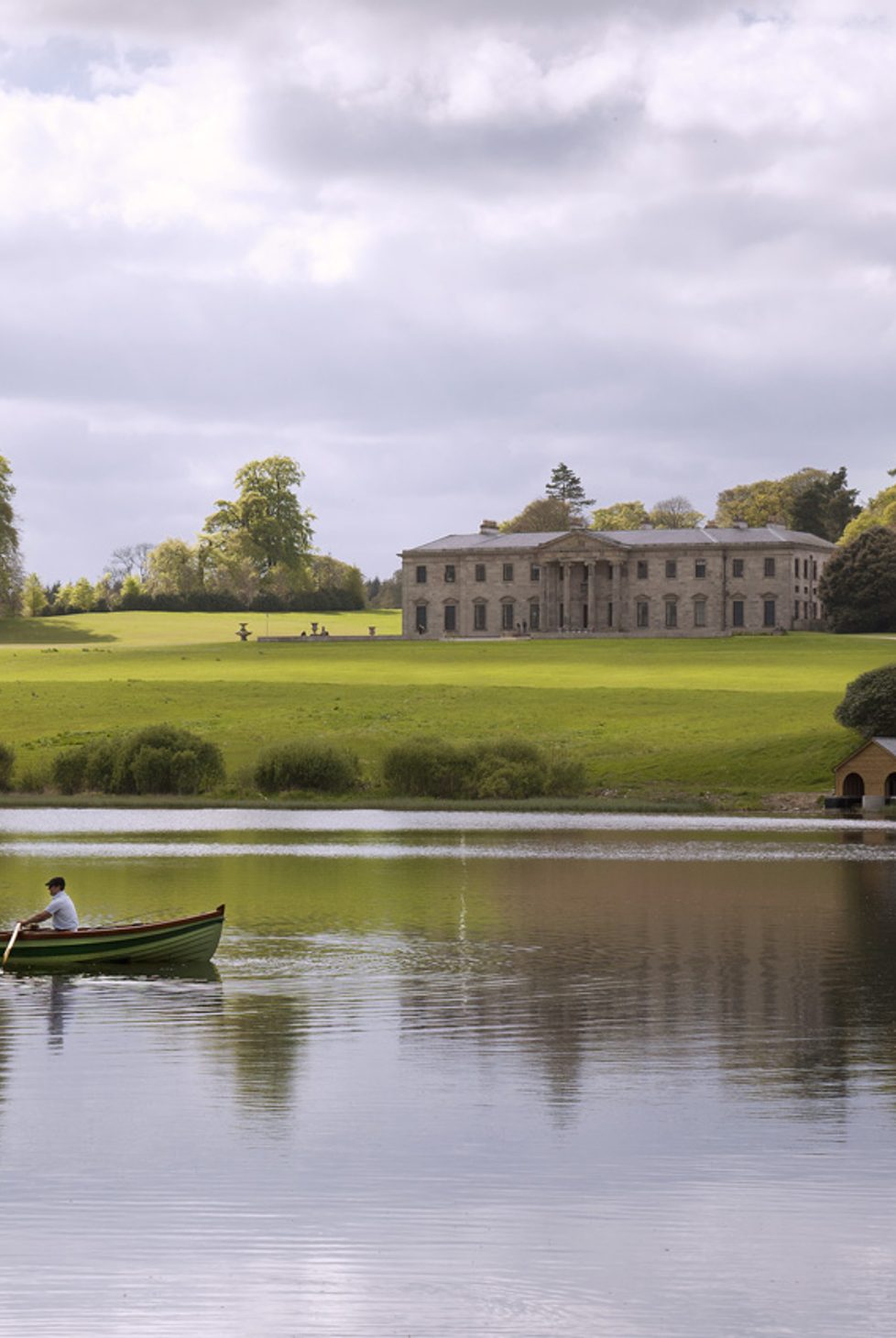 Fulacht fia in BalroeFulacht fia · 452 yd
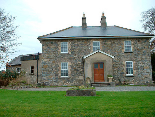 Grange Hallhouse · 1100 yd
 34th Locklock · 1474 yd
 CastleCastle, tower house · 1714 yd
 Baronstown ForestWood · 1.8 mi
 Site of Castle, Castle FieldCastle, unclassified · 1.8 mi
 Horse-chestnutHorse-chestnut · 1.9 mi
 Goldsmith Birthplace, PallasVisitor information · 8.4 mi
 Craft WorkshopHeritage attraction · 8.5 mi
 Guest ServicesVisitor information · 8.6 mi
 Newcastle WoodsForest · 9.2 mi