What is recorded here
In recently cleared pastureland. Poorly preserved subcircular cashel (c. 60m N-S; c. 50m E-W) defined by a collapsed drystone wall, which is much-obscured by overgrowth. A CBG (GA096-010001-) is associated. (McCaffrey 1952, 149, no. 57)
Compiled by: Galway Archaeological Survey, UCG
Date of upload: 6 January 2017
The monument record does not grant public access. Check the route and ask the landowner before entering private land.
- What survives
- Recorded monument
Places near here
 IndicatedFairy fort / stone ringfort · 827 yd
 bridgebridge · 1508 yd
 Templemartin Church (in ruins)Church · 1629 yd
 Pete’s CastleCastle · 1748 yd
 Strongfort Castle (in ruins)Castle, tower house · 1.1 mi
 Moyard WoodWood · 1.4 mi
 Athenry AbbeyHeritage attraction · 3.9 mi
 Athenry CastleHeritage attraction · 4.0 mi
 Horse-chestnutHorse-chestnut · 4.3 mi
 First Battle of Athenrybattle · 4.8 mi
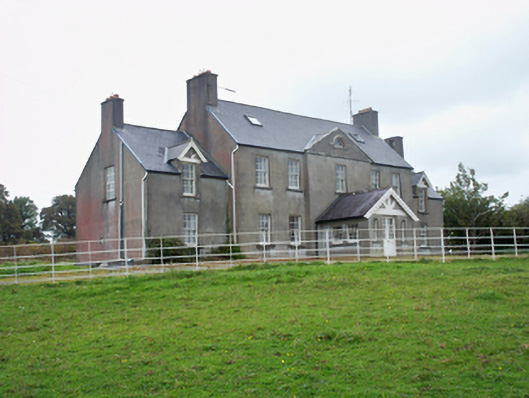 Ballymore Parkcountry house · 1681 yd