
What is recorded here
In reclaimed farmland. Classified by McCaffrey (1952, 148, no. 58) as a circular ‘Stone fort’ (diam. c. 29.3m ext.). The enclosing element consisted of ‘only one face of blocks set on edge’. McCaffrey (ibid.) also noted that the entire site had been used as a quarry. No visible surface trace survives. A Man-made underground passage (GA096-001001-) is associated.
Compiled by: Galway Archaeological Survey, UCG
Date of upload: 4 January 2017
The monument record does not grant public access. Check the route and ask the landowner before entering private land.
- What survives
- Recorded monument
Places near here
 Templemartin Church (in ruins)Church · 1155 yd
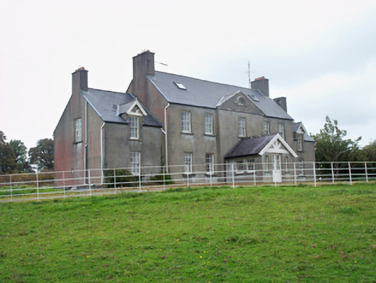 Ballymore Parkcountry house · 1175 yd
 Strongfort Castle (in ruins)Castle, tower house · 1.1 mi
 Pete’s CastleCastle · 1.3 mi
 Moyard WoodWood · 1.7 mi
 CrossCross · 1.8 mi
 Athenry AbbeyHeritage attraction · 4.0 mi
 Athenry CastleHeritage attraction · 4.1 mi
 Horse-chestnutHorse-chestnut · 4.4 mi
 First Battle of Athenrybattle · 4.9 mi
 MweenisharanIslet · 9.2 mi
Other information
Photo: Credit not shown in the picture search · Rights wording not checked; contact us if this picture should be removed