What is recorded here
Marked faintly as a circular enclosure (diam. c. 40m) on the 1840 ed. of the OS 6-inch map, and described as a 'lios' with eroded ramparts (Power 1896a, 173). Situated on fairly level ground. This is a slightly raised, grass-covered circular area (diam. 32m). The sites of a standing stone (WA026-001----) and an ogham stone (WA026-002001-) are c. 75m to the NW and c. 40m to the SE respectively.
Power, Rev. P. (1896a) On an ogham inscribed pillar stone recently discovered. WAJ 2, 170-5.
The above description is derived from the published 'Archaeological Inventory of County Waterford' (Dublin: Stationery Office, 1999). In certain instances the entries have been revised and updated in the light of recent research.
Compiled by: Michael Moore
Date of upload/revision: 27 May 2011
The monument record does not grant public access. Check the route and ask the landowner before entering private land.
- What survives
- Recorded monument
Places near here
 Font in ReiskFont · 857 yd
 MoatBarrow, mound barrow · 933 yd
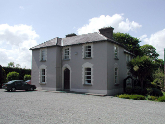 presbytery/parochial/curate's housepresbytery/parochial/curate's house · 1.1 mi
 Ballyscanlon HillMountain / peak · 1.2 mi
 Fenor BogNature reserve · 1.3 mi
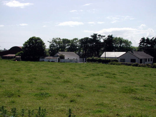 farmyard complexfarmyard complex · 1.4 mi
 Mote or TumulusCastle, motte · 1.5 mi
 Cullen Castle (in ruins)Castle, tower house · 2.2 mi
 Sugar Loaf RockMountain / peak · 2.9 mi
 Annestown monumentMemorial · 3.2 mi
 Doneraile WalkWalking route · 3.4 mi
 Garrarus StrandBeach / strand · 3.4 mi