
Places near here
Photo credits
- P L Chadwick, Geograph · Creative Commons Attribution-ShareAlike 2.0
- National Inventory of Architectural Heritage
- Brenno9999, Wikimedia Commons
- Kmcnamee, Wikimedia Commons · CC BY-SA 4.0
- Golfing in Ireland; photographer not stated, Source publisher
- DeeEmm, Geograph · CC BY-SA 2.0
 Saint Columba's Catholic ChurchChurch/chapel · 880 yd
Explorer Tom Saint Columba's Catholic Church in Kilbeacanty is painted pink, which is either a bold design choice or a mistake by…
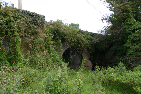 Cloon BridgeBridge · 2.0 mi
Explorer Tom Cloon Bridge near Kiltartan is flexing its curves like it’s got time to kill. It mocks modern concrete with that…
 hospital/infirmary2.0 mi
Explorer Tom Hospital or infirmary in Lavally says if you knock on the door three times, you won’t get sick, which is a superstition…
 Gort GAAGAA ground · 3.2 mi
 road (section of)3.8 mi
Explorer Tom Road in Castlequarter has witnessed a love story that went badly wrong right next to it. It’s a causeway over a flood…
 Beagh GAAGAA ground · 3.9 mi
 Gort Golf ClubGolf course · 4.5 mi
 Lisheen HouseCountry house · 4.5 mi
Explorer Tom Lisheen House has one least favourite visitor: the mailman who always arrives when the door is locked. It was built in…
Killanena GAA pitchGAA ground · 4.7 mi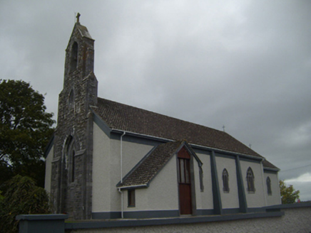 Saint Colman's Catholic ChurchChurch/chapel · 4.9 mi
Explorer Tom Saint Colman’s Catholic Church in Cloonteen is rivaling the big city churches just by existing on a crossroads. The…
 Castle in ruinsCastle, tower house · 5.7 mi
Explorer Tom Castle in ruins in Caherglassaun is playing hide-and-seek with me. The local sheep think it's a very fancy rock, but…
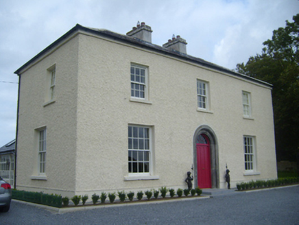 Maryville HouseHouse · 5.9 mi
Explorer Tom Maryville House has a priest who lost a bet there, and he’s still not over it. The limestone doorway is tooled so well…
More archaeology and monuments in County Galway · All of County Galway

What do you know about this place?Tap to add a comment or ask a question