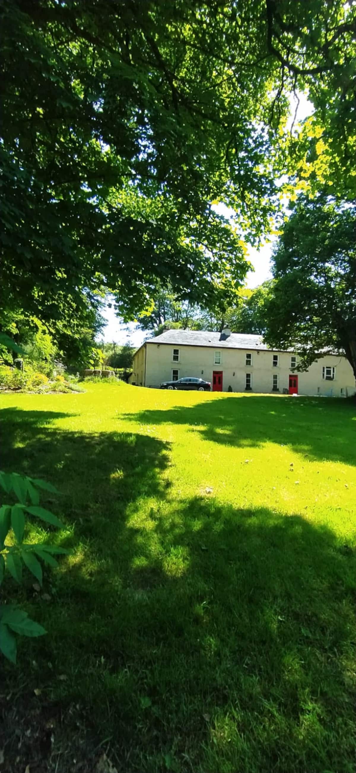
What is recorded here
D-shaped enclosure situated just off summit of low hillock on SE facing slope in undulating countryside with nearby enclosure (TS51-031----) c. 150m to NW. Roughly raised D-shaped enclosure (diam. 22m N-S; 33m E-W) with staright side at S (L 23m) defined by a low poorly preserved bank destroyed at E with possible entrance gap (Wth 4.5m) at S. No outer fosse visible.
Compiled by: Jean Farrelly
Date of upload: 26 August 2011
A local fairy fort (ringfort/rath); wider significance not recorded.
The monument record does not grant public access. Check the route and ask the landowner before entering private land.
- What survives
- Recorded monument
Places near here
 Enclosure in Ballysheeda (donohill Par.)Enclosure · 177 yd
 Annacarty Constabulary Barrackgarda station/constabulary barracks · 645 yd
 Saint Brigid's Catholic Churchchurch/chapel · 850 yd
 Ballysheeda Castle (in Ruins)Castle, tower house · 1073 yd
 CastleCastle, unclassified · 1450 yd
 Site of Kilpatrick ChurchChurch · 1.0 mi
 Maudemount BogWood · 1.3 mi
 Gortard WoodForest · 1.3 mi
 Soloheadbeg Ambushambush · 4.1 mi
 Soloheadbeg Ambush SiteMemorial · 4.7 mi
 LackenacreenaMountain / peak · 5.1 mi
 GortnageraghMountain / peak · 6.0 mi
Other information
Photo: Credit not shown in the picture search · Rights wording not checked; contact us if this picture should be removed