What is recorded here
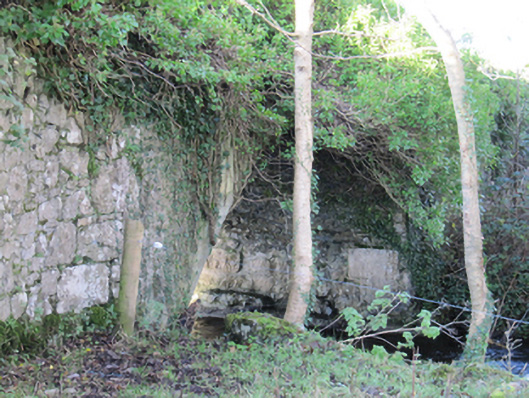
In reclaimed farmland. Marked on the 1838 edition of the OS 6-inch map as a roughly subrectangular field (c. 43m ENE-WSW; c. 34m N-S) with a 'Cave' (GA104-062001-) in the N sector of the interior. On the 1933 edition only the field boundary, curving from NW to SE, is depicted. On inspection in May 1983 only the curving boundary was visible; it may mirror the line of a possible rath.
Compiled by: Galway Archaeological Survey, UCG
Date of upload: 15 February 2019
A local fairy fort (ringfort/rath); wider significance not recorded.
The monument record does not grant public access. Check the route and ask the landowner before entering private land.
- What survives
- Recorded monument
Places near here
 CaveMan-made underground passage · 14 yd
 Man-made underground passageMan-made underground passage · 618 yd
 Cregg Castle (in ruins)Castle, tower house · 1066 yd
 Flour and Corn MillMill, corn · 1349 yd
 Roxboroughbridge · 1355 yd
 Bawn in Deerpark (kilchreest Ed)Bawn · 1.2 mi
 Blake's IslandIslet · 4.9 mi
 Ash IslandIslet · 4.9 mi
 Scalpeen RockNamed rock · 5.1 mi
 KnockapollboyMountain / peak · 5.4 mi
 HawthornHawthorn · 5.9 mi
 European ashEuropean ash · 6.0 mi