What is recorded here
Situated on a fairly level karst landscape with higher ground to the E and SE. Listed as ‘Cashel’ in the SMR (1992) and the RMP (1996). A rectangular enclosure was visible on a Geological Survey aerial photograph (GSIAP M341/2). On inspection in 2007 this was found to be a rectangular area of modern date (int. dims. 35.8m E-W; 29.5m N-S) defined by a drystone wall (Wth 0.6-0.7m; H 0.6-1m) with an entrance at the N end of the E side. Two stones, 0.8m apart, (N stone L 0.95m; Wth 0.2m; H 0.4m; S stone L 0.75m; Wth 0.3m; H 0.6m) in the interior are of unknown function. A D-shaped enclosure (int. dims. 24m E-W; 15m N-S) is attached at N, defined by the foundations of a drystone wall.
Compiled by: Mary Tunney
Date of upload: 9 February 2016
A local fairy fort (ringfort/rath); wider significance not recorded.
The monument record does not grant public access. Check the route and ask the landowner before entering private land.
- What survives
- Recorded monument
Places near here
 Enclosure in CahermaclanchyEnclosure · 226 yd
 Enclosure in BallyryanEnclosure · 695 yd
 The BurrenHeritage attraction · 1491 yd
 Doolin Cave Visitor CentreHeritage attraction · 1663 yd
 Doolin CaveCave · 1676 yd
 Ballinalacken CastleCastle · 1.1 mi
 BallyryanCliff · 1.2 mi
 Aran View SwalletCave · 1.5 mi
 AilladieCliff · 1.5 mi
 Catholic Church of the Holy Rosarychurch/chapel · 1.6 mi
 CastleCastle, unclassified · 1.6 mi
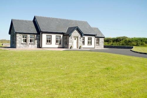 CahermaclanchyFairy fort / stone ringfort · 918 yd