What is recorded here
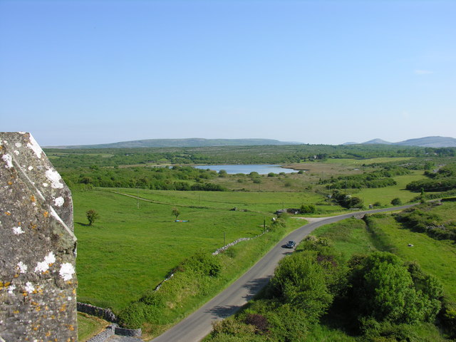
Indicated is a rectangular enclosure on a slight rise in County Clare, joining the seventeenth-century bawn of Ballyportry Castle through its northeast wall. Yellow-mortar masonry still marks the southeast side, while a quarry ditch cuts the southwest and a three-metre cliff drops beyond the southeast. The junction suggests an outer yard for the castle, perhaps holding livestock, tools or people during storms.
On a slight rise in level rough pasture. Indicated on both the first (1842) and Cassini (1920) editions of the OS 6-inch map. This rectangular enclosure (27.5m NW-SE; 21m NE-SW) is defined by the remains of a masonry wall bonded with yellow mortar, which is most clearly traceable on the SE side. The N half of the enclosure’s NE side is defined by the 17th century bawn (CL017-084001-) of Ballyportry Castle, a tower house (CL017-084002-) with which this enclosure may be associated as an outer yard. A flat-bottomed fosse (Wth of base 3.4m) outside the enclosure on the SW side appears to be a quarry ditch. Outside the SE side of the enclosure is a cliff (H c. 3m) which extends N to the E corner bastion of the tower house’s bawn.
Compiled by: Gearóid Conroy and Conn Herriott
Date of upload: 14-10-2025
The monument record does not grant public access. Check the route and ask the landowner before entering private land.
- What survives
- Recorded monument
Places near here
 IndicatedBawn · 22 yd
 Ballyporty Castle (in ruins) / TowerCastle, tower house · 23 yd
 Ballyportry Castlecastle/fortified house · 23 yd
 Enclosure in KellsEnclosure · 1119 yd
 Skaghabanoo / HachuredFairy fort / earthen ringfort · 1427 yd
 Killvoydan Church (in ruins)Church · 1437 yd
 Rock IslandIsland · 1.6 mi
 Inchiquin IslandIslet · 1.8 mi
 Battle of TullyodeaBattlefield · 2.0 mi
 Burren National ParkVisitor information · 2.7 mi
 Fergus River CaveCave · 3.2 mi
 Father Ted's HouseHeritage attraction · 3.7 mi