What is recorded here
In pasture, on N-facing slope. Roughly rectangular area (20.8m N-S; 36m E-W) partially enclosed by earth and stone bank (int. H 0.9m; ext. H 0.9m) best preserved along W side. Covered silage pit with two retaining concrete walls built near centre; wall to S runs along line of removed enclosing bank. Two small concrete yards adjoin pit to E and W. Linear enclosing bank to N, masked by dense vegetation, incorporated into field boundary; enclosing element to E removed. Recent gaps (Wth. c. 3m) in NW and SW corners. Farm passage (on N-S axis) enters E yard area at NE.
Compiled by: Denis Power
Date of upload: 26 August 2011
The monument record does not grant public access. Check the route and ask the landowner before entering private land.
- What survives
- Recorded monument
Places near here
 post boxpost box · 1086 yd
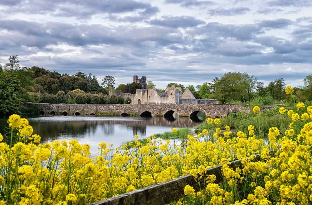 LisardArchaeological place · 1091 yd
 Fulacht fia in CooltominFulacht fia · 1118 yd
 Bawn in Lisnacullia (connello Lower By.)Bawn · 1719 yd
 Ballyegny Househouse · 1.1 mi
 St. Kieran's WellSpring · 1.6 mi
 Castle (in ruins)Castle, tower house · 1.7 mi
 St. Luke's WellSpring · 2.0 mi
 European ashEuropean ash · 4.3 mi
 Askeaton CastleHeritage attraction · 4.9 mi
 Gammarel PointHeadland · 6.7 mi
 Aughinish PointHeadland · 7.3 mi