
What is recorded here
In pasture, near the base of a SW-facing slope. A spread of burnt material (15.2m N-S; 12.3m E-W) which rises slightly (H 0.2m) at its N end. It is truncated by a field drain on its W side.
Compiled by: Denis Power
Date of upload: 26 August 2011
The monument record does not grant public access. Check the route and ask the landowner before entering private land.
- What survives
- Recorded monument
Places near here
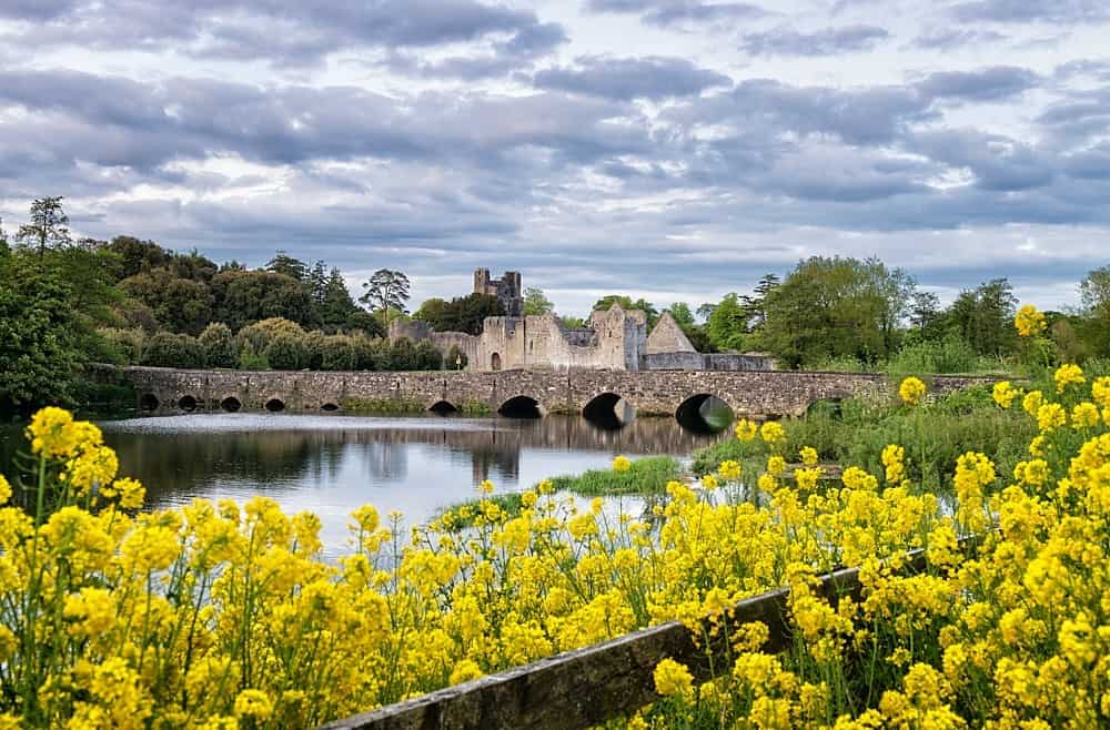 LisardArchaeological place · 411 yd
 Mound in RanahanMound · 1536 yd
 Bawn in Lisnacullia (connello Lower By.)Bawn · 1.3 mi
 post boxpost box · 1.3 mi
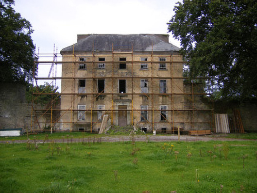 Riddlestown Parkcountry house · 1.4 mi
 CastleCastle, unclassified · 2.0 mi
 St. Kieran's WellSpring · 2.2 mi
 TobernablahySpring · 2.5 mi
 Askeaton CastleHeritage attraction · 4.3 mi
 European ashEuropean ash · 4.7 mi
 Foynes Flying Boat & Maritime MuseumMuseum · 6.0 mi
 Gammarel PointHeadland · 6.2 mi
Other information
Photo: Credit not shown in the picture search · Rights wording not checked; contact us if this picture should be removed