What is recorded here
Indicated is a circular earthen rath on a boggy slope above Liscannor Bay, preserving a broad view and a boundary old enough to appear on the first Ordnance Survey maps. Its low bank, scattered slabs and uncertain gaps suggest a lived enclosure rather than a formal monument, possibly touched by later livestock or local building. The name itself sounds like a pointer, as if the place were marked for recognition instead of praise.
On a gentle S-facing slope in rough boggy pasture, with wide views to S over Liscannor Bay. Hachured on both the first (1842) and Cassini (1920) editions of the OS 6-inch map. Listed as ‘Enclosure’ in the RMP (1996). This circular rath (int. diams. 30m E-W; 29m N-S) is defined by a low earthen bank (max. int. H 0.15m; ext. H 0.15-0.35m; Wth 2-4.5m), overlain at NNW by a later stone wall. Several stone slabs set against the inner face of the bank may be the remains of a revetment and a faint depression outside the bank at E suggests the presence of an external fosse. There are several gaps (av. Wth 1.3m) in the bank from E-S-SW, none of which are clearly the remains of an original entrance feature but rather appear to be livestock gaps. There is a mound (CL014-014----) c. 95m to the WSW.
Compiled by: Gearóid Conroy and Conn Herriott
Date of upload: 3-10-2025
The monument record does not grant public access. Check the route and ask the landowner before entering private land.
- What survives
- Recorded monument
Places near here
 IndicatedFairy fort / earthen ringfort · 717 yd
 Kilconnell Children's Burial GroundArchaeological place · 808 yd
 CastleCastle, unclassified · 1096 yd
 Sightseeing Cliffs of Moher SouthViewpoint · 1525 yd
 Moher TowerRuins · 1566 yd
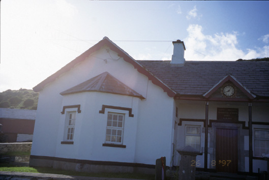 Saint Bridget's National Schoolschool · 1697 yd
 Bridget's Well;St Bridget's WellSpring · 1.2 mi
 Cliffs of MoherCliff · 1.2 mi
 Cliffs of Moher Visitor CentreVisitor information · 2.1 mi
 Sea StackMountain / peak · 2.1 mi
 John P. Holland CentreMuseum · 2.2 mi
 Liscannor Castle (in Ruins)Castle, tower house · 2.3 mi