What is recorded here
Indicated is a collapsed grassed-over cashel in Galway grassland, its drystone wall broken into two faint arcs that disappear under turf. It stands thirty metres across, large enough to hold a family, a herdsman or a fleeing child, though no name has survived to confirm who. A second ringfort waits one hundred and thirty metres to the southwest, suggesting the field once belonged to more than one household or one kind of prayer.
In grassland. Poorly preserved roughly circular cashel (D 30.7m) defined by a collapsed grassed-over drystone wall. Inner and outer wall-facing is visible intermittently. A ringfort (GA058-012----) lies c. 130m to SW.
The above description is derived from the published 'Archaeological Inventory of County Galway Vol. II - North Galway'. Compiled by Olive Alcock, Kathy de hÓra and Paul Gosling (Dublin: Stationery Office, 1999).
Date of upload: 05 August 2010
The monument record does not grant public access. Check the route and ask the landowner before entering private land.
- What survives
- Recorded monument
Places near here
 IndicatedEnclosure · 950 yd
 Stone CirclesFairy fort / stone ringfort · 1404 yd
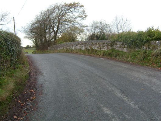 bridgebridge · 1.3 mi
 Common WhitebeamCommon Whitebeam · 1.4 mi
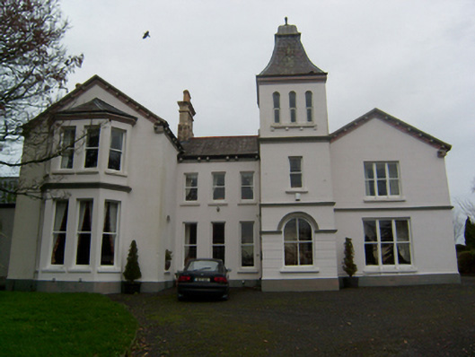 Crumlin Parkcountry house · 1.4 mi
 SycamoreSycamore · 1.5 mi
 Knockmoy AbbeyHeritage attraction · 1.8 mi
 Castle FrenchCastle, unclassified · 1.8 mi
 CastleCastle, unclassified · 2.1 mi
 Mass RockNamed rock · 10 mi
 Oileán an AoilIsland · 14 mi
 Oileán an BhreathnaighIslet · 14 mi