
What is recorded here
On a SW-facing slope in gently undulating grassland. Large well-preserved rectangular enclosure (N-S 110m, E-W 55m) defined by a massive drystone wall (Wth 2m, H 2m max.) along S, W and N sides. The td. boundary wall (Wth 1.5m) forms the enclosing element along E side and there is no trace of the enclosure to E of it. There is a definite entrance (Wth c. 4m) at W and a possible one at SW. A number of houses (GA058-087001-, GA058-087002-, GA058-087003-) and several large piles of field- clearance rubble lie within the interior. An internal drystone wall subdivides NE quadrant. Possibly post-medieval in date.
The above description is derived from the published 'Archaeological Inventory of County Galway Vol. II - North Galway'. Compiled by Olive Alcock, Kathy de hÓra and Paul Gosling (Dublin: Stationery Office, 1999).
Date of upload: 05 August 2010
This remains an important historical record, but the official description says the monument is no longer visible or has been destroyed. The monument record does not grant public access. Check the route and ask the landowner before entering private land.
- What survives
- No visible remains or recorded as destroyed
Places near here
 CaveMan-made underground passage · 827 yd
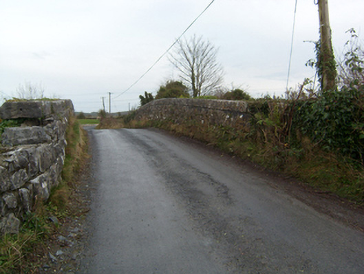 bridgebridge · 842 yd
 Stone CirclesFairy fort / stone ringfort · 849 yd
 Common WhitebeamCommon Whitebeam · 1.0 mi
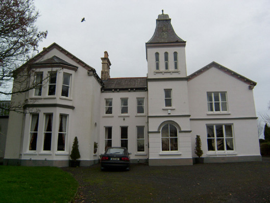 Crumlin Parkcountry house · 1.1 mi
 SycamoreSycamore · 1.1 mi
 Castle FrenchCastle, unclassified · 1.6 mi
 Knockmoy AbbeyHeritage attraction · 2.2 mi
 CastleCastle, unclassified · 2.3 mi
 Mass RockNamed rock · 10 mi
 Oileán an BhreathnaighIslet · 13 mi
 Oileán an AoilIsland · 13 mi
Other information
Photo: Credit not shown in the picture search · Rights wording not checked; contact us if this picture should be removed