What is recorded here
Indicated was a thirty-metre fairy fort on the Corrin ridge, watching Ballinahina from above until the golf course swallowed it. Windele remembered the fort looking down on Barry's place in 1897, but the green fairways have erased the ring entirely. The ridge keeps the shape in its slope while the grass hides the fort from human eyes.
In Fermoy golf course, on ESE-facing slope, on W end of Corrin ridge. Depicted on 1842 OS 6-inch map as sub-rectangular area planted with trees; marked on 1903 and 1935 OS 6-inch map as circular area (diam. c. 30m). Levelled; no visible surface trace. According to Windele (1897, 375) 'fort on Corrin ridge to the West looks down on Ballinahina, Barry's place'.
The above description is derived from the published 'Archaeological Inventory of County Cork. Volume 2: East and South Cork' (Dublin: Stationery Office, 1994). In certain instances the entries have been revised and updated in the light of recent research.
Date of upload/revision: 14 January 2009
The monument record does not grant public access. Check the route and ask the landowner before entering private land.
- What survives
- Recorded monument
Places near here
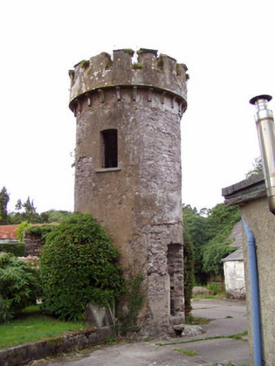 Ballynahina Housefolly · 898 yd
 Corrin WoodsWood · 958 yd
 Corrin CrossMonument · 1118 yd
 Hollymount Househouse · 1135 yd
 Ecclesiastical enclosure in Ballynoe (condons and Clongibbon By.)Ecclesiastical enclosure · 1388 yd
 Coolmucy WoodWood · 1.1 mi
 Graveyard in FermoyGraveyard · 2.0 mi
 Castle Hyde (in Ruins)Castle, tower house · 2.0 mi
 Tourist InformationVisitor information · 2.0 mi
 Kent BridgeMemorial · 2.0 mi
 Cappagh XViewpoint · 2.4 mi
 Cregg Castle (in Ruins)Castle, tower house · 2.6 mi