
What is recorded here
Cill Conain, the chief church of O Quain, lay hidden beneath two acres of pasture at the base of Corrin Hill. John Barry farmed the land where the sacred enclosure once stood, yet no wall or stone remained to mark the boundary between the divine and the domestic. The earth itself became the archive, preserving the shape of worship long after human memory faded. What was holy became habitat, and the church disappeared into the ordinary rhythm of the fields.
In pasture, at base of N side of Corrin Hill. According to Power (1932, 78), 'Cill Conain: the present Ballynoe...is at N.E. angle of a field on John Barry's farm, close to the homestead, and it extends into an adjoining field. There are no remains of the church, but the site is well remembered; indeed it is physically indicated by a slight elevation, two acres in area, on the surface of the two fields.' Site located by Ó Murchú (1978, 7) to c. 200m SW of Barry's farm-house. No visible surface trace of site noted and no local knowledge of it survives. Pipe Roll of Cloyne (MacCotter and Nicholls 1996, 29) states that abbot of Fermoy held '...Kylconan which lies beside Karryg Tyrne [Carn Tighearna or Corrin Hill] in the Monastery parish...'. 'Cill Conain' mentioned in Crichad an Chaoilli (translation Power 1932, 51) as one of two chief churches of the tuath 'O Quain'. Bullaun stone (13913) c. 140m to NNE.
The above description is derived from the published 'Archaeological Inventory of County Cork. Volume 4: North Cork' (Dublin: Stationery Office, 2000). In certain instances the entries have been revised and updated in the light of recent research.
Date of upload/revision: 14 January 2009
The monument record does not grant public access. Check the route and ask the landowner before entering private land.
- What survives
- Recorded monument
Places near here
 Fulacht fia in Coolcarron (condons and Clongibbon By.)Fulacht fia · 637 yd
 Corrin WoodsWood · 771 yd
 Glenabo Bridgebridge · 941 yd
 Corrin CrossMonument · 1031 yd
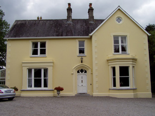 Duntahane Househouse · 1224 yd
 Ballybrack WoodForest · 1623 yd
 Graveyard in FermoyGraveyard · 1.2 mi
 Tourist InformationVisitor information · 1.2 mi
 Kent BridgeMemorial · 1.3 mi
 Castle Hyde (in Ruins)Castle, tower house · 1.6 mi
 Old Railway ViaductViewpoint · 2.1 mi
 Carrigabrick Castle (in Ruins)Castle, tower house · 2.1 mi
Other information
Photo: Credit not shown in the picture search · Rights wording not checked; contact us if this picture should be removed