
What is recorded here
Situated at the head of the S-N Aughnabrone river valley. Indicated as a D-shaped enclosure (dims. c. 45m N-S; c. 25m E-W) E of a N-S laneway on the 1840 ed. of the OS 6-inch map. It is known locally as the site of a 'lios' and barely discernible as a cropmark on vertical aerial photographs (GSIAP, S 677-6). D-shaped, grass-covered area (dims. 46m N-S; 16m E-W) defined by a slight scarp at the W side of a N-S laneway. The E half of the enclosure cannot be traced. There is local knowledge of a 'hollow sound' on the laneway which may be a Man-made underground passage (WA003-046002-).
The above description is derived from the published 'Archaeological Inventory of County Waterford' (Dublin: Stationery Office, 1999). In certain instances the entries have been revised and updated in the light of recent research.
Compiled by: Michael Moore
Date of upload/revision: 16 November 2011
The monument record does not grant public access. Check the route and ask the landowner before entering private land.
- What survives
- Recorded monument
Places near here
 Enclosure in Aughmore,kilballyquiltyEnclosure · 1.0 mi
 Enclosure in AughmoreEnclosure · 1.1 mi
 Bawn in RathgormuckBawn · 1.3 mi
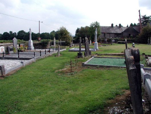 graveyard/cemeterygraveyard/cemetery · 1.3 mi
 MoteCastle, motte and bailey · 1.3 mi
 Rathgormuck National Schoolschool · 1.3 mi
 Coolnamuck Wood WestForest · 2.0 mi
 Churchtown WoodForest · 2.5 mi
 Ormonde CastleHeritage attraction · 3.4 mi
 CarrigfenoaghMountain / peak · 3.6 mi
 CarrigcoumMountain / peak · 3.9 mi
 Curraheen TrailsVisitor information · 3.9 mi
Other information
Photo: Credit not shown in the picture search · Rights wording not checked; contact us if this picture should be removed