What is recorded here
On a low short NNW-SSE pasture ridge with a gentle slope to SW and a moderately steep slope to NE, overlooking an enclosure site (KD031-025----) c. 50m to NE. A low heavily overgrown circular earthen mound (diam. 15m; H c. 1.5m) with a domed profile is skirted by a later field boundary bank NW-N-ENE. A shallow enclosing fosse (W c. 2m) noted in 1989 (SMR file) is obscured by cleared field material dumped around the perimeter.
Compiled by: Gearóid Conroy
Date of upload: 08 October 2013
The monument record does not grant public access. Check the route and ask the landowner before entering private land.
- What survives
- Recorded monument
Places near here
 IndicatedEnclosure · 68 yd
 Enclosure in Skerries NorthEnclosure · 772 yd
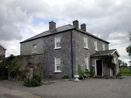 Moat Lodgefarm house · 1214 yd
 Saint Ita's Catholic Churchchurch/chapel · 1270 yd
 Ardscull MoatCastle, motte · 1270 yd
 History of Moat of ArdscullVisitor information · 1345 yd
 European BeechEuropean Beech · 1346 yd
 Gorden Bennet Race memorialMemorial · 1368 yd
 Scots PineScots Pine · 2.1 mi
 CastleCastle, unclassified · 2.2 mi
 Battle of Kilrushbattle · 3.0 mi
 1798 memorialMemorial · 4.0 mi