
What is recorded here
In level tillage. A 1967 aerial photograph (CUCAP ASU 82) shows the cropmark of a fosse enclosing a large circular area (est. max. diam. c. 60m). No visible surface trace survives. A soil mark visible on the aerial photo encroaching onto the monument at W is shown as a pit or depression on the latest ed. (1909) of the OS 6-inch map. On the ground it is an oval area (30m N-S; 20m E-W) of lush grass growth.
Compiled by: Gearóid Conroy
Date of upload: 08 October 2013
The monument record does not grant public access. Check the route and ask the landowner before entering private land.
- What survives
- Recorded monument
Places near here
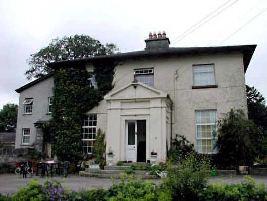 Skerries Housefarm house · 720 yd
 IndicatedEnclosure · 801 yd
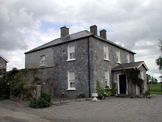 Moat Lodgefarm house · 1361 yd
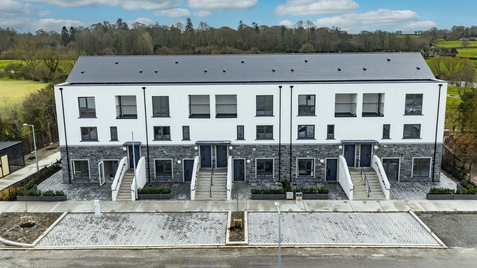 Enclosure in ArdnagrossEnclosure · 1544 yd
 Ardscull MoatCastle, motte · 1.1 mi
 European BeechEuropean Beech · 1.1 mi
 History of Moat of ArdscullVisitor information · 1.1 mi
 Gorden Bennet Race memorialMemorial · 1.1 mi
 Scots PineScots Pine · 2.1 mi
 CastleCastle, unclassified · 2.5 mi
 Battle of Kilrushbattle · 3.3 mi
 1798 memorialMemorial · 3.8 mi
Other information
Photo: Credit not shown in the picture search · Rights wording not checked; contact us if this picture should be removed