What is recorded here
On the 1837 ed. OS 6-inch map this earthwork is depicted as a small wooded grove located in on the demesne lands of Mount Cashel Lodge located 330m to NNE. Bullaun stone (KD029-010----) located 100m to S. Cropmark of circular-shaped area (approx. diam. 20m) visible on Digital Globe orthoimages taken 2011-13. Could be the remains of a post-1700 designed landscape feature such as a tree-ring or possibly a ringfort reused as a tree-ring associated with landscaping of the demesne lands of Mount Cashel Lodge.
See attached Google Earth orthoimages
Compiled by: Caimin O'Brien based on details kindly provided by Seán Sourke.
Date of upload: 16 October 2020
The monument record does not grant public access. Check the route and ask the landowner before entering private land.
- What survives
- Recorded monument
Places near here
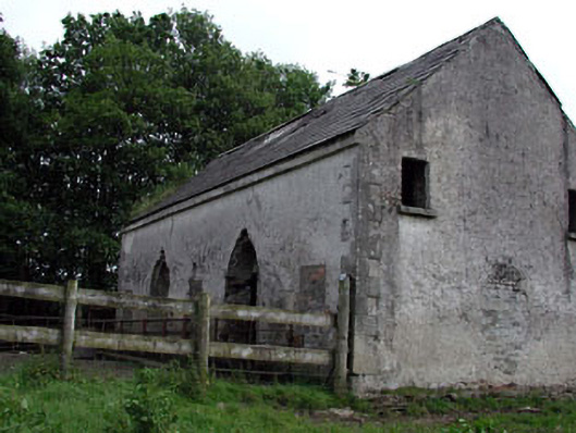 Mountcashel Lodgecountry house · 591 yd
 Enclosure in Ardinode EastEnclosure · 701 yd
 IndicatedEnclosure · 719 yd
 gates/railings/wallsgates/railings/walls · 745 yd
 English hollyEnglish holly · 1.3 mi
 CastleCastle, unclassified · 1.5 mi
 Castle in ruinsCastle, unclassified · 1.7 mi
 Sillagh Bog WoodForest · 2.4 mi
 National Bird of Prey CentreHeritage attraction · 2.4 mi
 Artisans WorkshopsHeritage attraction · 2.4 mi
 Saint Kevin's CaveMemorial · 3.0 mi
 Burial ground in CrehelpBurial ground · 3.9 mi