
What is recorded here
On a gentle N-facing pasture slope overlooking the River Liffey to the N. Visible on a 1963 aerial photograph (CUCAP AHK 34) as the soil mark of a possible levelled enclosure (est max diam. c. 50m), lying c. 70m NW of a second levelled enclosure (KD029-009----). No visible surface trace survives.
Compiled by: Gearóid Conroy
Date of upload: 27 August 2013
The monument record does not grant public access. Check the route and ask the landowner before entering private land.
- What survives
- Recorded monument
Places near here
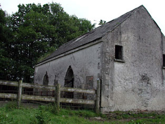 Mountcashel Lodgecountry house · 1144 yd
 Enclosure in Ballymore Eustace WestEnclosure · 1361 yd
 Stone CrossCross · 1430 yd
 gates/railings/wallsgates/railings/walls · 1437 yd
 CastleCastle, unclassified · 1.2 mi
 Castle in ruinsCastle, unclassified · 1.4 mi
 English hollyEnglish holly · 1.5 mi
 Sillagh Bog WoodForest · 2.4 mi
 National Bird of Prey CentreHeritage attraction · 2.8 mi
 Artisans WorkshopsHeritage attraction · 2.8 mi
 Saint Kevin's CaveMemorial · 3.1 mi
 Burial ground in CrehelpBurial ground · 3.8 mi
Other information
Photo: Credit not shown in the picture search · Rights wording not checked; contact us if this picture should be removed