What is recorded here
Situated on small promontory in pasture, overlooking Ballymeeny River to E. Raised circular area (diam. 22m) enclosed by a bank of earth (Wth 4.3m; int. H 0.35m) with an external fosse (Wth 9.7m; D 0.7m). From NE-SW the bank lies along the top of a natural steep E-facing scarped edge that runs down toward the Ballymeeny River. The bank has been partially removed by small scale quarrying W-NW. The original entrance to the site is not recognisable. The fosse encloses the site SW-N and is absent elsewhere due to the sharp natural drop to the E of the site.
Compiled by: Mark Keegan
Date of upload: 19 January 2011
The monument record does not grant public access. Check the route and ask the landowner before entering private land.
- What survives
- Recorded monument
Places near here
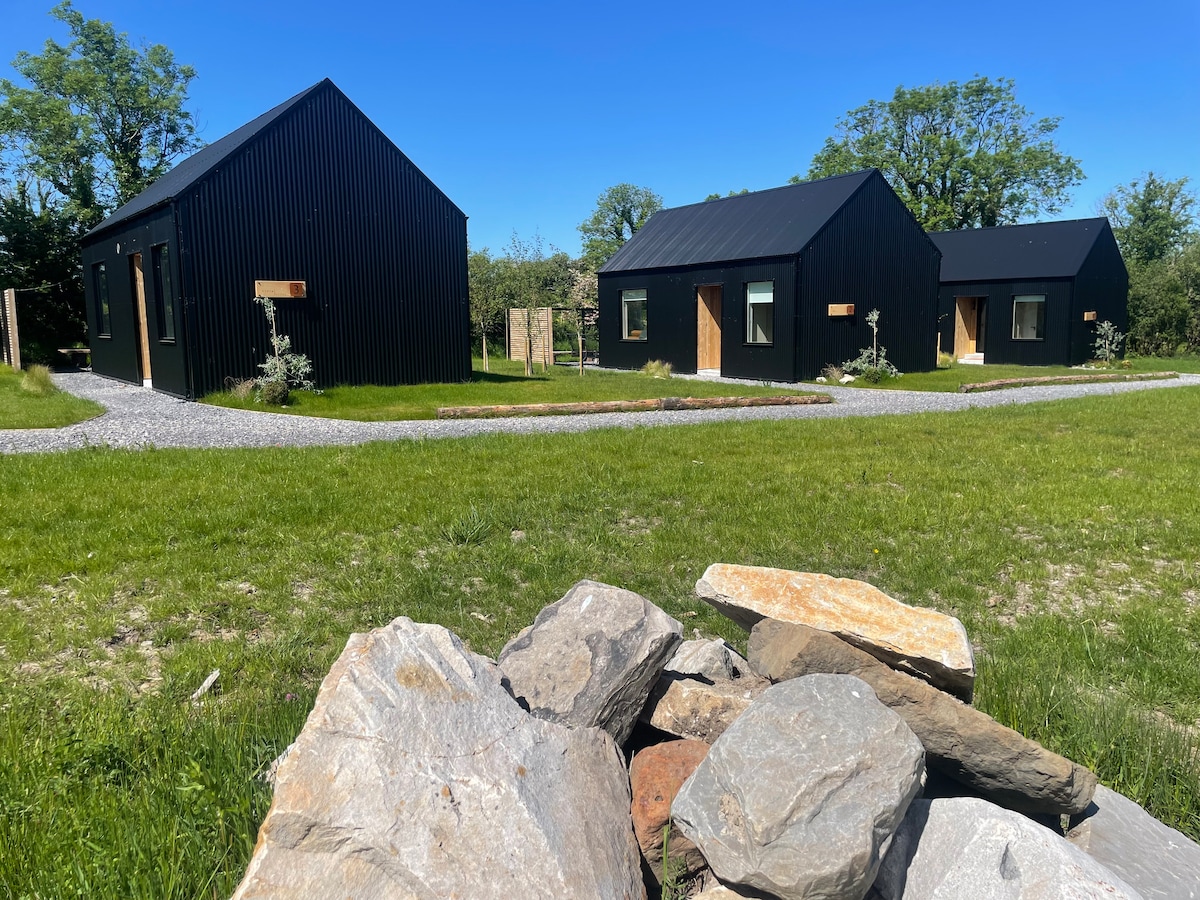 Hut site in Alternan ParkHut site · 181 yd
 Altar in DoonaltanAltar · 334 yd
 Glenburn Househouse · 365 yd
 Carrownrush Towersignal tower · 1517 yd
 Split RockNamed rock · 1.2 mi
 CastleCastle, motte · 1.4 mi
 Ballynahowna CastleCastle, tower house · 1.5 mi
 DonaghHeadland · 1.7 mi
 Jim Smith MemorialMemorial · 2.4 mi
 Wild Atlantic Way: Easky PierVisitor information · 2.8 mi
 Eamonn's TopMountain / peak · 7.3 mi
 AnnatoranMountain / peak · 7.9 mi