What is recorded here
Indicated is a fairy fort in County Cork, an oval earthen ring with a western gap and a mysterious circular hollow inside the northern bank. People may have lived there before forgetting the name, or perhaps the fairies took the house and left only the shape. The land still holds the outline of a doorway, waiting for someone clever enough to see the room hidden inside the hill.
In pasture, on S-facing slope. Oval area (26m E-W; 22m N-S) enclosed by earthen bank (int. H 1.1m), with external fosse (D 0.6m) to W. Gap (Wth 1m) in bank to W. Interior raised on S side to compensate for hillslope; depression (D 0.75m) running E-W cuts centre; circular depression (diam. 3m; D 0.75m) inside N bank.
The above description is derived from the published 'Archaeological Inventory of County Cork. Volume 1: West Cork' (Dublin: Stationery Office, 1992). In certain instances the entries have been revised and updated in the light of recent research.
Date of upload/revision: 14 January 2009
The monument record does not grant public access. Check the route and ask the landowner before entering private land.
- What survives
- Recorded monument
Places near here
 Hut site in KnockanemeeleenHut site · 961 yd
 Country house in BallylangyCountry house · 1044 yd
 Balllylangy Housecountry house · 1056 yd
 BarrowBarrow, ring-barrow · 1165 yd
 HDS walk Coolim CliffsHeritage attraction · 1382 yd
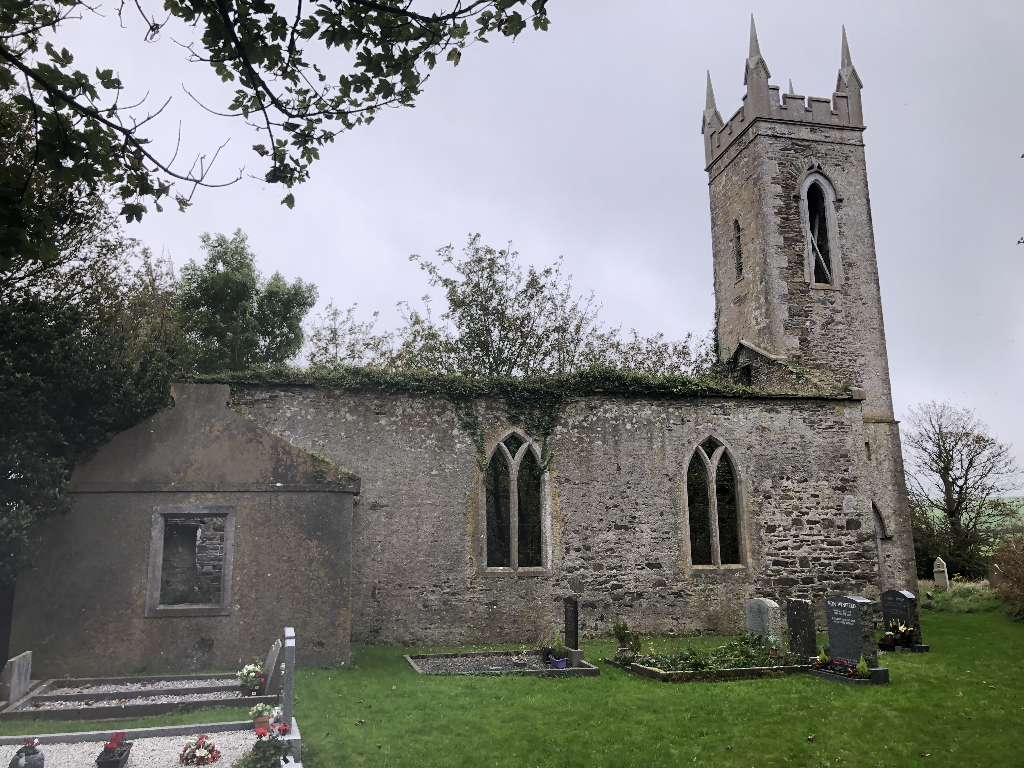 Lislee Court (Site of)Castle, unclassified · 1467 yd
 Blind StrandBeach / strand · 1654 yd
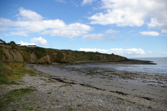 Broad StrandBeach / strand · 1.3 mi
 Barry's PointHeadland · 1.4 mi
 Courtmacsherry Bay ViewViewpoint · 1.8 mi
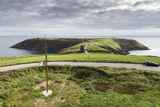 Signal Tower ViewViewpoint · 1.9 mi
 War MemorialMemorial · 2.2 mi