What is recorded here
Site of mill in Killavullen, on S bank of Blackwater River. Short section of overgrown enclosing wall remains. Cast iron axle with three cast iron flaunches, with remains of wooden arms in sockets, on site. A mill is shown here on Down Survey (1655-6) barony map . Corn Mill indicated on 1842 OS 6-inch map, with mill race flowing along E side; mill race taken from Ross River c. 1km to SSW with mill pond c. 600m to SW. Lewis (1837, vol. 2, 35) however refers to a 'large boulting-mill, lately discontinued' in Killavullen. Shown as 'in ruins' on 1905 OS 6-inch map.
The above description is derived from the published 'Archaeological Inventory of County Cork. Volume 4: North Cork' (Dublin: Stationery Office, 2000). In certain instances the entries have been revised and updated in the light of recent research.
Date of upload/revision: 14 January 2009
The monument record does not grant public access. Check the route and ask the landowner before entering private land.
- What survives
- Recorded monument
Places near here
 Cave in BallymacmoyCave · 94 yd
 Killavullen CavesCave · 100 yd
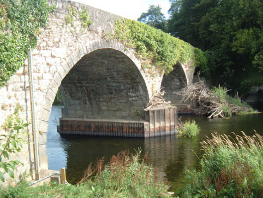 Killavullen Bridgebridge · 128 yd
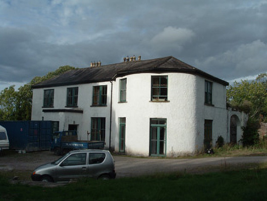 Ballymacmoy Housecountry house · 134 yd
 Monanimy CastleCastle, tower house · 427 yd
 St Nicholass WellHoly well · 436 yd
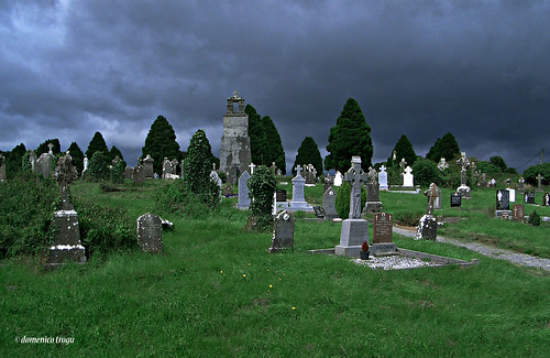 Grave YardGraveyard · 451 yd
 Killavuleen LOOPVisitor information · 561 yd
 CastleCastle, tower house · 1729 yd
 SeefinMountain / peak · 3.8 mi
 Knocknaskagh North TopMountain / peak · 3.8 mi
 Anne's Grove GardensHeritage attraction · 3.9 mi