What is recorded here
Situated on a slight rise in a low-lying landscape sloping down gently to the SE, with a N-S stream just to the E. An ecclesiastical site called ‘Kilbride' is marked on the 1839 ed. of the OS 6-inch map (O'Flanagan 1933, vol. 1, 13), and it may be early in date. This is a circular area (diam. c. 90m N–S; c. 90m E–W) creating an ecclesiastical enclosure defined by a scarp N–E-SW and by the remains of bank (Wth 5.5m; H 0.4m) with an external fosse (Wth of top 5m; D 0.3m) SW–NW. It is cut by a WNW-ESE field bank at S but the perimeter can be traced in the field to the S. A cairn of stones in the centre marks site of the church (WX002-024001-) but there is no evidence of burial in the graveyard (WX002-024002-) marked on the 1839 ed. of the OS 6-inch map or of burial. The enclosure is most clearly visible on Google Earth (14/11/2020) as was first reported by Jean Charles Caillére, but what appears to be a low bank further W is a low scarp down to the E and unconnected with the ecclesiastical enclosure.
See the attached enhanced view from Google Earth (14/11/2020)
Compiled by: Michael Moore
Date of upload: 27 January, 2012
Amended: 12 July, 2022
The monument record does not grant public access. Check the route and ask the landowner before entering private land.
- What survives
- Recorded monument
Places near here
 Kilbride Grave YardChurch · 1 yd
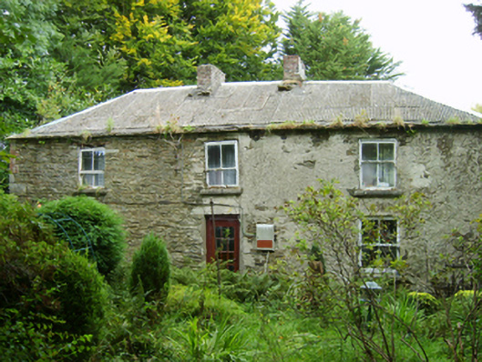 farm housefarm house · 847 yd
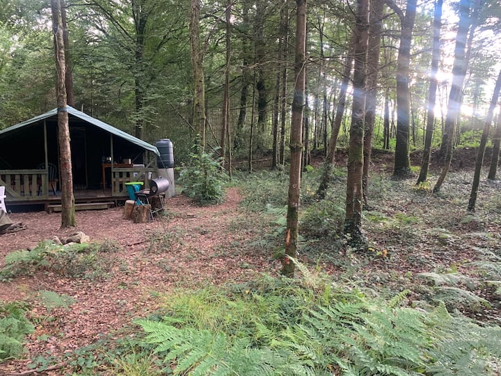 Embanked enclosureFairy fort / ringfort · 1246 yd
 Mountnebo WoodForest · 1.3 mi
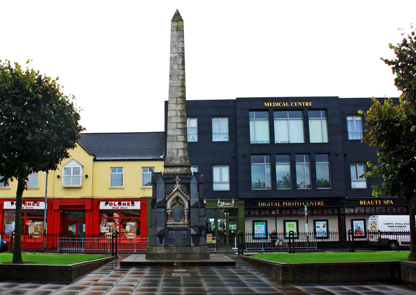 IndicatedFairy fort / earthen ringfort · 1.4 mi
 Kilmichael HillMountain / peak · 1.4 mi
 Annagh HillMountain / peak · 1.6 mi
 Ballingarry WoodForest · 2.4 mi
 CastleCastle, motte · 2.9 mi
 1798 MemorialMemorial · 3.5 mi
 Saint Brigid's WellSpring · 4.2 mi
 1798 MonumentMemorial · 4.8 mi