What is recorded here
Not visible at ground level. Depicted as a small circular field enclosure on the first edition of the Ordnance 6-inch map. Not depicted as an antiquity on the first edition OS 6-inch map. Of doubtful antiquity.
The above description is derived from the published 'Archaeological Inventory of County Offaly' (Dublin: Stationery Office, 1997). In certain instances the entries have been revised and updated in the light of recent research.
Date of upload: 23 May 2011
The monument record does not grant public access. Check the route and ask the landowner before entering private land.
- What survives
- Recorded monument
Places near here
 Enclosure in Kilbride (ballycowan By.)Enclosure · 941 yd
 Partially hachuredBawn · 1156 yd
 Ballykilmurry Castle (in ruins)Castle, tower house · 1159 yd
 Enclosure in BallynamireEnclosure · 1237 yd
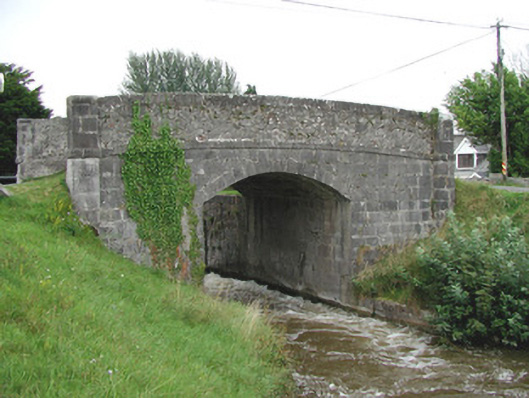 Ballycowan Bridgebridge · 1672 yd
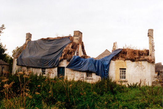 farm housefarm house · 1733 yd
 Ballyduff WoodForest · 1.1 mi
 Christ's WellSpring · 1.4 mi
 European ashEuropean ash · 1.6 mi
 Trumpet HillMountain / peak · 1.8 mi
 Ardnagross WellSpring · 2.5 mi
 Grand Canal WayWalking route · 2.7 mi