What is recorded here
Situated on the edge of a ridge or rise, in woodland, overlooking Ballaghkeeran Lough to N. Depicted on the 1837 OS 6-inch map as circular-shaped tree-lined earthwork and on the revised 1913 ed. OS 25-inch map as a subtriangular-shaped earthwork which seems to have been incorporated into a ‘Gravel Pit’ to N.
Monument described in 1973 as a large roughly rectangular-shaped area now densely overgrown with impenetrable vegetation and largely inaccessible. The earthwork is defined by a very high steep scarp along the N side, which has been quarried. This quarry extends across most of the E half. The monument is defined by a steep bank to SE and W. There are the remains of an outer fosse along the SE side, beyond which is a field boundary consisting of a hedge-lined bank. Monument is visible today as a small coppice of woodland on Digital Globe aerial photography.
Compiled by Alison McQueen, Vera Rahilly and Caimin O’Brien.
Date of upload: 06 November 2019
The monument record does not grant public access. Check the route and ask the landowner before entering private land.
- What survives
- Recorded monument
Places near here
 Promontory fortPromontory fort, inland · 412 yd
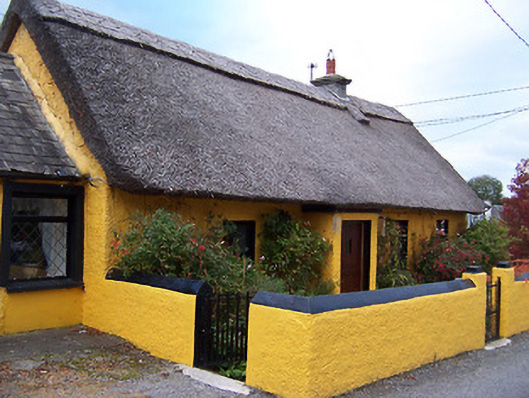 Rose Cottagehouse · 445 yd
 CastleCastle, unclassified · 1490 yd
 Temple's IslandIslet · 1.0 mi
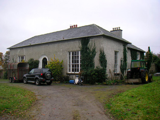 Easthill Househouse · 1.1 mi
 OutlinedFairy fort / earthen ringfort · 1.1 mi
 Thatch IslandIslet · 1.2 mi
 Killinure BayBay · 1.6 mi
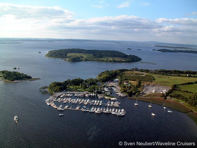 Killinure PointHeadland · 1.7 mi
 1916 Centenery CommemorationMemorial · 2.4 mi