What is recorded here
Situated on the E down-slope of a low hill which slopes more sharply to the E of the possible site location. The monument is indicated on the 1924 OS 6-inch map as a small circular enclosure (diam. c. 10m) planted with trees. Several collections of stones (dim. 0.3 x 0.5 x 0.2m) in small hummocks (diam. 2-3m) are evident in a roughly rectangular area (c. 17m N-S).
From the National Monuments Service (Archaeological Survey of Ireland) record LI013-010
The monument record does not grant public access. Check the route and ask the landowner before entering private land.
- What survives
- Recorded monument
Places near here
Photo credits
- National Inventory of Architectural Heritage
- JohnArmagh, Wikimedia Commons · Public domain
- Stevesphotography, Wikimedia Commons · CC BY-SA 4.0
- Hywel Williams, Geograph · CC BY-SA 2.0
- Mike Searle, Wikimedia Commons · CC BY-SA 2.0
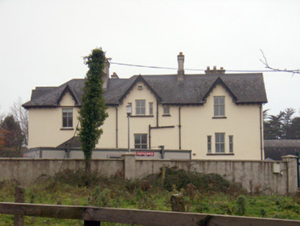 TemplemungretHouse · 132 yd
 Church (in ruins)Church · 509 yd
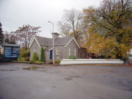 Mungret CollegeGate lodge · 555 yd
 school583 yd
 Mungret Abbey (in ruins)Church · 636 yd
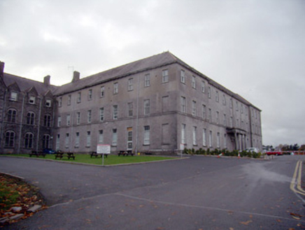 Mungret CollegeCollege, stables · 1024 yd
 Mungret CollegeFolly · 1056 yd
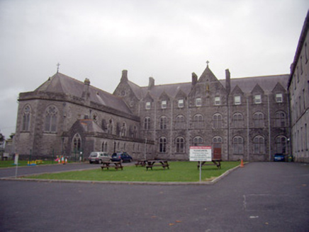 Mungret CollegeChurch/chapel · 1057 yd
 Limerick Seamen's MemorialMemorial · 2.3 mi
 Carrigogunnell CastleRuins · 2.9 mi
_-_geograph.org.uk_-_4570434.jpg/250px-Castles_of_Munster,_Cratloekeel,_Clare_(1)_-_geograph.org.uk_-_4570434.jpg "Photo: Mike Searle, Wikimedia Commons · CC BY-SA 2.0") Cratloekeel CastleCastle · 3.5 mi
Cratloekeel CastleCastle · 3.5 mi Cratloe WoodsForest · 5.1 mi
More archaeology and monuments in County Limerick · All of County Limerick
What do you know about this place?