What is recorded here
Located on a gentle N-facing slope. This is a raised and overgrown rectangular area (dims. 47m E-W; 44m N-S) with low banks (at W: Wth c. 5m; int. H 0.9m) on the perimeter and raised corners. There is an external flat bottomed moat (Wth of top 6-8m; int. D 2.5-2.9m; ext. D 1.8m) on each side. A small stream enters the moat at the SE corner. (Barry 1977, 214, WX 13)
The above description is derived from the published 'Archaeological Inventory of County Wexford' (Dublin: Stationery Office, 1996). In certain instances the entries have been revised and updated in the light of recent research.
Compiled by: Michael Moore
Date of upload/revision: 17 July 2012
The monument record does not grant public access. Check the route and ask the landowner before entering private land.
- What survives
- Recorded monument
Places near here
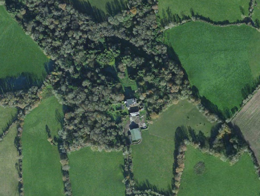 Island Housecountry house · 1182 yd
 St. Thomass WellHoly well · 1481 yd
 TobermogueHoly well · 1491 yd
 Chapel (in ruins)Church · 1624 yd
 Ballingowan MoteCastle, motte · 1739 yd
 Kilnamanagh Grave YardArchaeological place · 2.1 mi
 Hachured moundCastle, motte · 2.1 mi
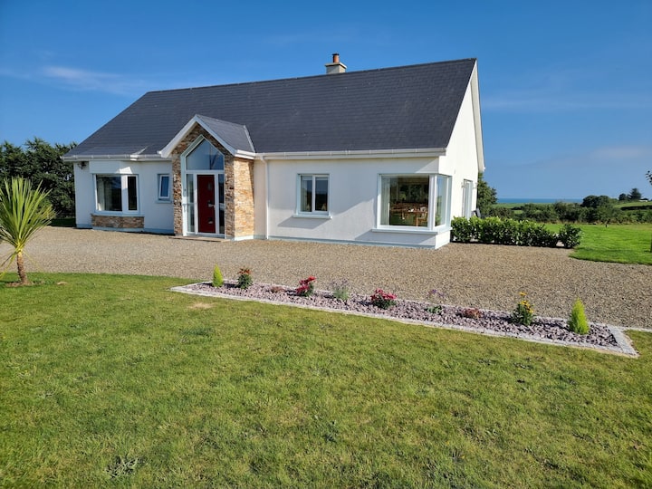 Tinnaberna BeachBeach / strand · 2.4 mi
 Birds of PreyVisitor information · 2.6 mi
 Bird BoxesVisitor information · 2.7 mi
 Fontainebleau service treeFontainebleau service tree · 2.8 mi
 1916 MemorialMemorial · 2.9 mi