What is recorded here
In pasture, on elevated ground with a fall to W towards a stream. Excellent views in all directions.
Raised broadly oval area (43.5m E−W; 37.6m N−S) defined by an earth and stone bank (Wth 3m; int. H 0.4-0.7m; ext. H 1-1.4m), outside which at SE−W there is a fosse (Wth 2.4m; D 0.6m).
The inner bank has a well defined external slope, but is low and slumped internally. Stones protrude around its circuit, with possible remnants of internal and external stone facing at W and NW.
The fosse is evident as a shallow depression on the S arc and petering out to a broad terrace at W. At S the fosse cuts through a low natural rise in ground level, topped with a slight E-W linear bank. This may be a remnant of an external bank or it may simply be a later field bank.
The interior is fairly level, with an uneven surface. It is subdivided by a low bank (Wth 1.9m; H 0.2m) curving in a shallow arc across the W half of the interior. Another internal division in the form of a low E-facing scarp extends from the rath bank at S for 11m to NNW petering out 4m short of an intersection with the internal division described above. According to local tradition, the interior was used as a children’s burial ground (MA119-048001-).
Compiled by: Jane O’Shaughnessy
Date of upload: 10 August 2023
The monument record does not grant public access. Check the route and ask the landowner before entering private land.
- What survives
- Recorded monument
Places near here
 Site of FortFairy fort / earthen ringfort · 586 yd
 RathbaunArchaeological place · 1199 yd
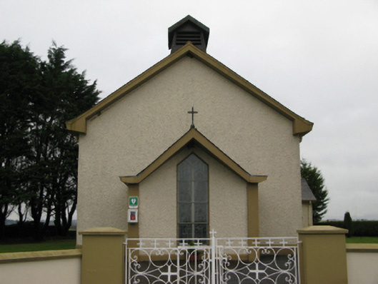 Saint Joseph's Catholic Churchchurch/chapel · 1502 yd
 Castle (in ruins)Castle, unclassified · 1.4 mi
 Castle in ruinsCastle, unclassified · 1.5 mi
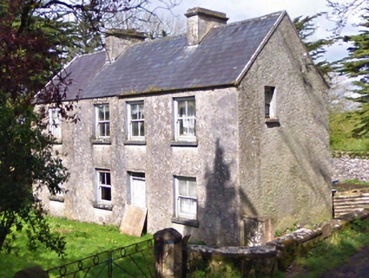 farm housefarm house · 1.5 mi
 European YewEuropean Yew · 3.1 mi
 Pesooge PlantationForest · 5.6 mi
 Mass RockNamed rock · 6.2 mi
 Ross Errilly FriaryHeritage attraction · 10 mi
 Inis Mhic an TrírIsland · 12 mi
 Otter IslandIslet · 13 mi