
What is recorded here
On a slight rise of ground in wet marshy terrain in an upland region with good views in all directions. The enclosure, which is depicted as a circular area defined by a scarp (int. diam. c. 23m) on the 2nd (1906) ed. OS 6-inch map, is not visible at ground level. Two field boundaries to the NE of the enclosure, which are also depicted on the 2nd ed. map, may also have been removed at the same time.
Compiled by: Jean Farrelly
Date of upload: 26 August 2011
The monument record does not grant public access. Check the route and ask the landowner before entering private land.
- What survives
- Recorded monument
Places near here
 Saint Anne's Church (Toem)church/chapel · 1279 yd
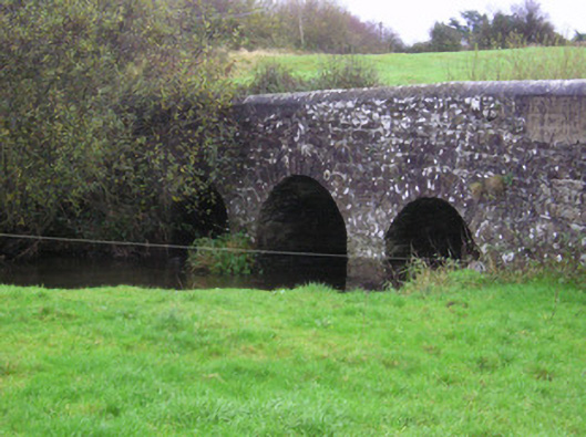 Longford Bridgebridge · 1.3 mi
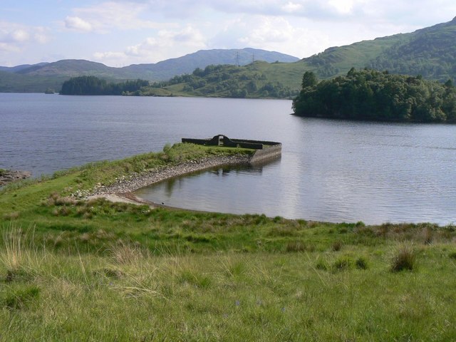 Killarragon Burial GroundChildren's burial ground · 1.3 mi
 LissyverrigeenFairy fort / earthen ringfort · 1.4 mi
 Site of CastleCastle, unclassified · 1.5 mi
 Longford Castle (in ruins)Castle, unclassified · 1.6 mi
 Green Field ParkWood · 2.7 mi
 GortnageraghMountain / peak · 3.1 mi
 Oola HillMountain / peak · 3.6 mi
 Soloheadbeg Ambushambush · 4.4 mi
 ToberagaddySpring · 4.9 mi
 Soloheadbeg Ambush SiteMemorial · 4.9 mi
Other information
Photo: Credit not shown in the picture search · Rights wording not checked; contact us if this picture should be removed