What is recorded here
Indicated is a fairy fort or earthen ringfort in Ballyglass (tireragh By., Dromore Ed), County Sligo, Ireland. The slightly raised circular area sits on the west side of a narrow ridge above the Carrowcor River. It has an inner earth and stone bank, a surrounding fosse, and an outer bank that a modern field fence cuts at the north.
Situated on the W side of a low, narrow NNW-SSE ridge a short distance above the E bank of the Carrowcor River. Depicted as a circular enclosure on the 1837 OS 6-inch map but not shown on the 1913 edition. A slightly raised circular area (diam. 18m) enclosed by the low remains of a bank (Wth 1.3-2m; int. H 0.2m; ext. H 0.3m) of earth and stone. Outside this is a fosse (Wth 1.4-2.5m) with an external bank (Wth c. 3m; int. H 0.1m; ext. H 0.4m). Both banks appear to have been faced with stone. The external bank is truncated at N by a modern field fence on an E–W axis. The interior slopes down slightly from W to E. In the NE quadrant there is a small hollow, obscured by overgrowth.
Compiled by: Patrick F. O'Donovan
Date of upload: 19 January 2011
The monument record does not grant public access. Check the route and ask the landowner before entering private land.
- What survives
- Recorded monument
Places near here
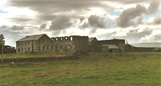 IndicatedFairy fort / earthen ringfort · 504 yd
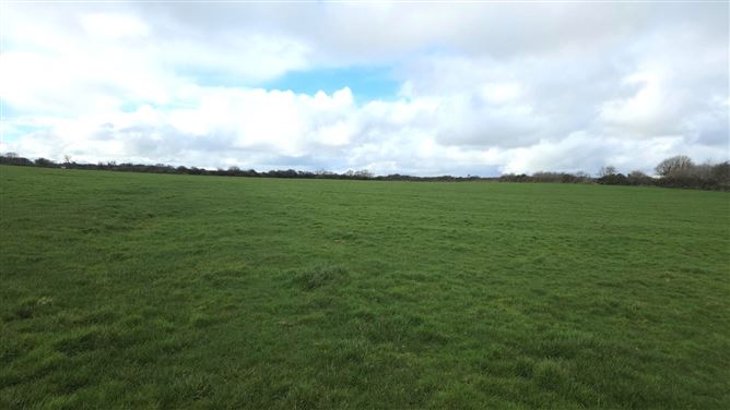 Man-made underground passage in BallyeeskeenMan-made underground passage · 808 yd
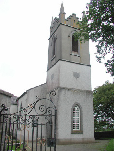 Saint Mary's Church (Kilmacshalgan)church/chapel · 1075 yd
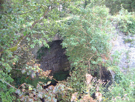 Ballygilcash Bridgebridge · 1516 yd
 Site of Dunneill CastleCastle, unclassified · 1.0 mi
 CastleCastle, tower house · 1.3 mi
 DonaghHeadland · 1.6 mi
 Split RockNamed rock · 3.7 mi
 Aughris BeachBeach / strand · 4.2 mi
 Eamonn's TopMountain / peak · 4.8 mi
 Knockalongy South-West TopMountain / peak · 4.8 mi
 Dunmoran StrandBeach / strand · 4.9 mi