What is recorded here
In pasture, close to the break of slope on the N side of a ridge, c. 200m from the Mayo-Roscommon border.
This monument is shown on the 1838 OS 6-inch map as a small circular feature (diam. 8-10m), but is not shown on later map editions. Remnants were still visible in 1978 when it was recorded as a circular house or hut site (int. diam. c. 4m), similar in form to another circular house (MA103-039001-) which lies 20m to W (SMR file: OPW Field Notes, 1978). Inspected again in 1999, there are now no visible remains at ground level. A rath (MA103-040----) is located 100m slightly downslope to NW.
Compiled by: Jane O’Shaughnessy
Date of upload: 11 November 2022
The monument record does not grant public access. Check the route and ask the landowner before entering private land.
- What survives
- Recorded monument
Places near here
 Lisheenbantragh FortFairy fort / earthen ringfort · 901 yd
 Kiltullagh ChurchChurch · 1307 yd
 IndicatedFairy fort / earthen ringfort · 1512 yd
 RoadRoad, road/trackway · 1.4 mi
 CastleCastle, unclassified · 1.6 mi
 Slieve DartMountain / peak · 3.0 mi
 Castle in ruinsCastle, unclassified · 6.1 mi
 European ashEuropean ash · 14 mi
 Mass RockNamed rock · 15 mi
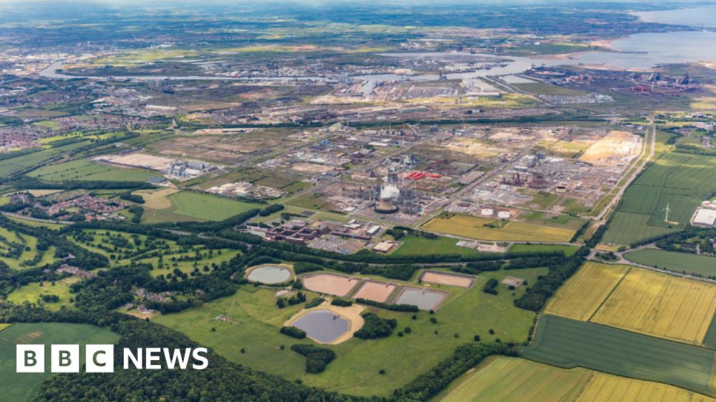 Field system in Barrinagh (castlereagh By.)Field system · 1.3 mi
 Embanked enclosureFairy fort / earthen ringfort · 1.4 mi
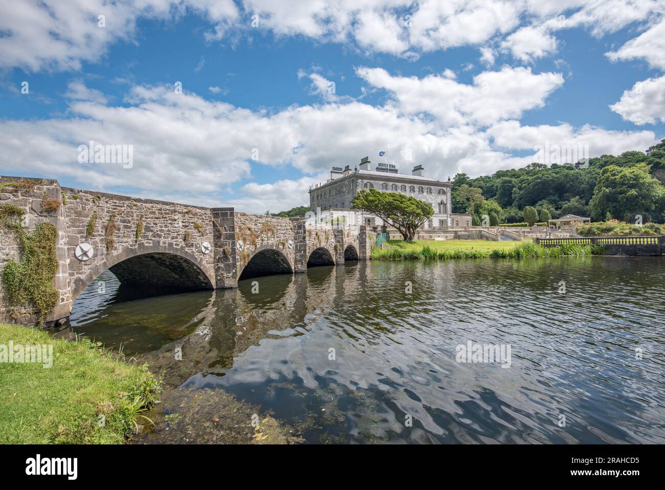 Enclosure in Levallyroe (costello By.)Enclosure · 1.5 mi