What is recorded here
In average pasture, sited at the E end of a terrace, on a N-facing slope which falls to an expanse of wet boggy pasture. There are excellent views, blocked now to W by forestry plantation. This large, oval embanked enclosure, most likely a rath, is shown on the 1838 OS 6-inch map; it is not shown on later map…
Read the whole record
From the National Monuments Service (Archaeological Survey of Ireland) record MA103-032
Places near here
Photo credits
- Maker not stated on source page, www.airbnb.ru
- Maker not stated on source page, tr.pinterest.com
- Maker not stated on source page, en.wikipedia.org
- National Inventory of Architectural Heritage
- Maker not stated on source page, za.pinterest.com
- Maker not stated on source page, commons.wikimedia.org
- James Killeen / Mayo Football Talk, www.mft.ie
- GAA (publisher); individual photographer not identified in image caption, www.gaa.ie
- Maker not stated on source page, www.pinterest.com
- dougf, Geograph · CC BY-SA 2.0
- Garry Dickinson, Wikimedia Commons · CC BY-SA 2.0
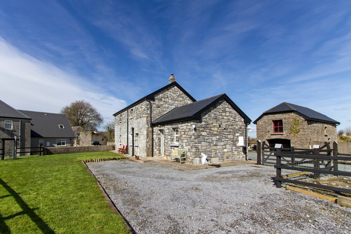 Standing stone in Ballyglass MiddleStanding stone · 1329 yd
Explorer Tom Standing stone in Ballyglass Middle has a secret it would tell after a few pints. It knows who really broke its…
 Fairy fort / earthen ringfort in Moigh UpperFairy fort / earthen ringfort · 1446 yd
Explorer Tom Fairy fort / earthen ringfort in Moigh Upper is basically a circle of dirt that thinks it’s royalty. If Saint Patrick…
 Cursing stone in KiltullaghCursing stone · 1641 yd
Explorer Tom Cursing stone in Kiltullagh is another version of the same missing stones story, which locals swear by as if they…
 Ogham Stone1729 yd
Explorer Tom Ogham Stone in Ballybeg claims there’s a secret tunnel straight to the pub, but nobody believes him. He’s sitting on a…
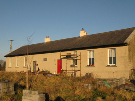 Saint Joseph's National SchoolSchool · 1.5 mi
Explorer Tom Saint Joseph's National School in Derrylea has an imaginary fan club that shows up every Tuesday to eat crisps and…
 Church in Grallagh (costello By.)Church · 2.3 mi
Explorer Tom Church in Grallagh is deeply suspicious of the postman and his little envelopes. It thinks they’re all bills for…
 Graveyard in ChurchparkGraveyard · 3.9 mi
Explorer Tom Graveyard in Churchpark rates every visitor’s outfit from one to ten based on how muddy their boots get. It’s a strict…
 Ballyhaunis GAA ParkGAA ground · 4.0 mi
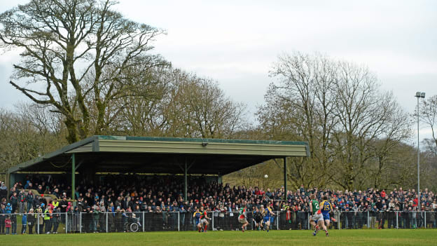 Peadar Earley Memorial Park, Michael Glaveys GAA, BallinloughGAA ground · 4.1 mi
 Graveyard in Townparks (2nd Division - Tuam)Graveyard · 16 mi
Explorer Tom Graveyard in Townparks (2nd Division - Tuam) is where the local sheep go to judge your life choices while chewing their…
 Castle (in ruins)Castle, hall-house · 27 mi
Explorer Tom Castle in Cargin is a hall-house that had a major makeover in '70. It's basically a 13th-century body in a modern suit.…
 Annaghkeen CastleCastle · 27 mi
Explorer Tom Abbeyglen Castle Hotel thinks it's a proper old fortress, but it's really just a fancy hotel pretending to be…
More archaeology and monuments in County Mayo · All of County Mayo

What do you know about this place?Tap to add a comment or ask a question