What is recorded here
Marked as a small circular wooded feature (diam. c. 20m) on the 1837 and 1928 eds of the OS 6-inch map, and situated on a gentle N-facing slope, c. 300m W of Fort George House. Described as an overgrown circular mound defined by a rounded fosse and outer bank (dims 17.5m E-W; 16.5m N-S) (Gannon 1972). It is now visible as a circular grass-covered area (diam. 21m) defined by traces of a fosse that is most visible at E (Wth 2.8m; D 0.2m). It may be a tree-ring, and enclosure (RO035-050----) is c. 130m to the WSW and enclosure (RO035-052----) is c. 150m to the ESE.
Compiled by: Michael Moore
Date of upload: 24 August 2010
The monument record does not grant public access. Check the route and ask the landowner before entering private land.
- What survives
- Recorded monument
Places near here
 Embanked enclosureEnclosure · 205 yd
 IndicatedFairy fort / earthen ringfort · 1149 yd
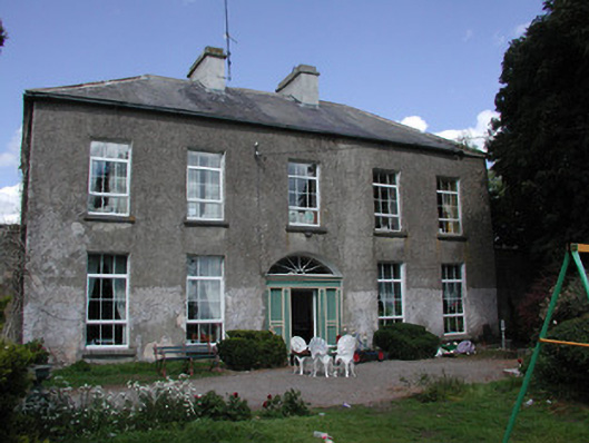 Ballymacurly Househouse · 1220 yd
 Church in Emlagh MoreChurch · 1.7 mi
 HawthornHawthorn · 2.1 mi
 European ashEuropean ash · 4.4 mi
 Roscommon CastleCastle · 5.1 mi
 Leitrim CastleCastle, unclassified · 5.6 mi
 CastleCastle, Anglo-Norman masonry castle · 5.8 mi
 Site of Killomaine Grave YardArchaeological place · 6.6 mi
 Sally IslandIslet · 7.7 mi
 Mount MaryMountain / peak · 8.7 mi