What is recorded here
In pastureland. Marked on the 1838 edition of the OS 6-inch map as a large roughly D-shaped enclosed fir tree plantation and on the 1921 edition as an unenclosed mixed tree plantation. Aerial imagery (Google 2019) indicates that the trees have been cleared away and no visible surface trace is evident of any enclosing feature. Most likely a landscape feature.
Compiled by: Olive Alcock
Date of upload: 17 July 2019
The monument record does not grant public access. Check the route and ask the landowner before entering private land.
- What survives
- Recorded monument
Places near here
 IndicatedFairy fort / stone ringfort · 325 yd
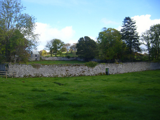 Cregg Housewalled garden · 900 yd
 Cregg Bridgebridge · 1242 yd
 Ardamullivan Castle (in ruins)Castle, tower house · 1.4 mi
 Tobereendoney Holy WellHoly well · 1.4 mi
 Fiddaun Castle (in ruins)Castle, tower house · 1.6 mi
 Swan IslandIsland · 3.0 mi
 Apple IslandWood · 3.5 mi
 Keaghery IslandWood · 3.8 mi
 Kilmacduagh MonasteryHeritage attraction · 4.0 mi
 Mulkere MemorialMemorial · 4.1 mi
 Kilmacduagh Monastic SiteVisitor information · 4.1 mi