What is recorded here
Not included in the SMR (1989) but listed in the RMP (1995) and classified 'Bridge'. This is an overgrown humpbacked road bridge (Wth 6m; long axis NW-SE) over an unnamed stream. The roadway is no longer in public use and is now used as farm track. The bridge comprises a single segmental arch (span c. 4.5m) with rough voussoirs which are in poor repair. A low parapet wall is evident in the undergrowth. The bridge is 18th/19th century in appearance. This bridge probably dates to the post-1700 AD period.
Compiled by: Archaeological Survey Unit, UCC
Date of upload: 12 December 2011
The monument record does not grant public access. Check the route and ask the landowner before entering private land.
- What survives
- Recorded monument
Places near here
 LisboyFairy fort / earthen ringfort · 129 yd
 IndicatedFairy fort / earthen ringfort · 307 yd
 Church in BallydawleyChurch · 528 yd
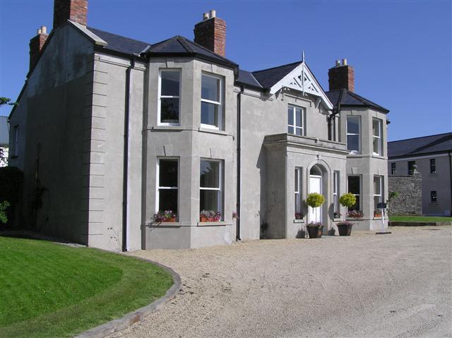 Castle Darganhouse · 762 yd
 Castle (in Ruins)Castle, tower house · 1.0 mi
 CastleCastle, motte · 1.1 mi
 Union RockForest · 1.3 mi
 Giants GraveArchaeological place · 1.4 mi
 European ashEuropean ash · 1.6 mi
 Battle of Collooneybattle · 1.9 mi
 Teeling MonumentMemorial · 1.9 mi
 Aghamore BayBay · 2.9 mi
Other information
Photo: Credit not shown in the picture search · Rights wording not checked; contact us if this picture should be removed