What is recorded here
Just below the crest at the N end of a ridge between two small N-S stream valleys with ground falling steeply to the N, E and W, mostly in grassland with a strip of woodland immediately to the E. The monument itself is quite overgrown with trees and scrub. There are very good views in all directions. Depicted on the 1st (1839) ed. OS 6-inch map as an oval enclosure (dims. c. 38m NW-SE to S field boundary; c. 35m NE-SW), the S sector is transected by a field boundary running roughly E-W and is not indicated S of the boundary. The enclosure is defined by a stoney, grass-covered bank (int. H c. 0.4m; ext. H c. 0.6m; overall Wth c. 3m). The interior slopes gently to the NE and there is a small quarry in the E quadrant.
Compiled by: Jean Farrelly
Date of upload: 3 June 2020
The monument record does not grant public access. Check the route and ask the landowner before entering private land.
- What survives
- Recorded monument
Places near here
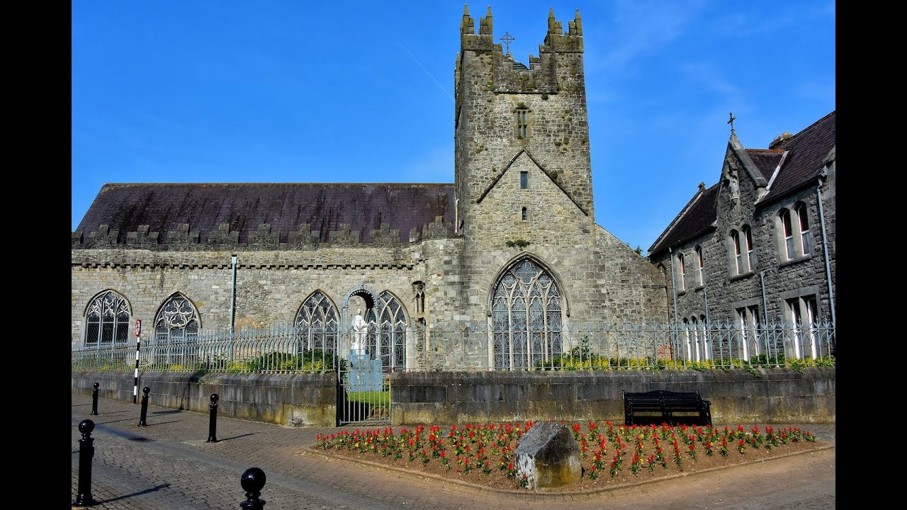 Tulla R.C. ChapelChurch · 466 yd
 Saint Nicholas's Catholic Churchchurch/chapel · 853 yd
 Black Castle (in ruins)Castle, unclassified · 938 yd
 Enclosure in EarlsbogEnclosure · 1270 yd
 Turkey OakTurkey Oak · 1432 yd
 IndicatedCastle, motte · 1583 yd
 Graveyard in ThreecastlesGraveyard · 1592 yd
 Enclosure in ThreecastlesEnclosure · 1.0 mi
 Jenkinstown ParkForest · 2.8 mi
 Emma Jane Browne-ClaytonMemorial · 3.5 mi
 Freshford LoopWalking route · 3.6 mi
 Anker's IslandIsland · 7.8 mi