What is recorded here
Situated on a terrace on a NW-facing slope, in undulating terrain. Depicted as a small circular enclosure on the 1st ed. (1843) OS 6-inch map. Not visible at ground level. According to the landowner the site was levelled in the 1940s.
The above description is derived from 'The Archaeological Inventory of County Tipperary. Vol. 1 - North Tipperary' compiled by Jean Farrelly and Caimin O'Brien (Dublin: Stationery Office, 2002). In certain instances the entries have been revised and updated in the light of recent research.
Date of upload/revision: 22 September 2008
The monument record does not grant public access. Check the route and ask the landowner before entering private land.
- What survives
- Recorded monument
Places near here
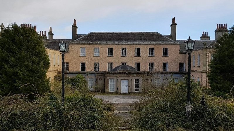 Enclosure in BallyconnorEnclosure · 617 yd
 Enclosure in TiermoyleEnclosure · 819 yd
 RoadRoad, road/trackway · 841 yd
 Knockacraheen HillMountain / peak · 992 yd
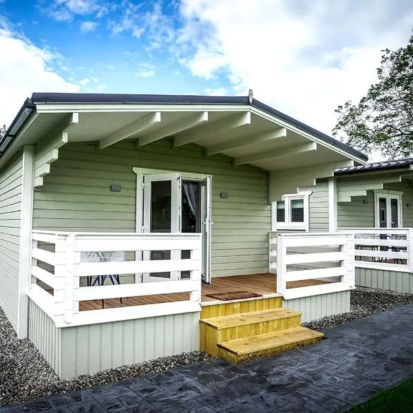 Ballinamona HouseHouse, indeterminate date · 1.1 mi
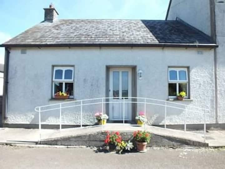 Millbrook Ho.Castle, unclassified · 1.1 mi
 Killavalla WoodForest · 1.2 mi
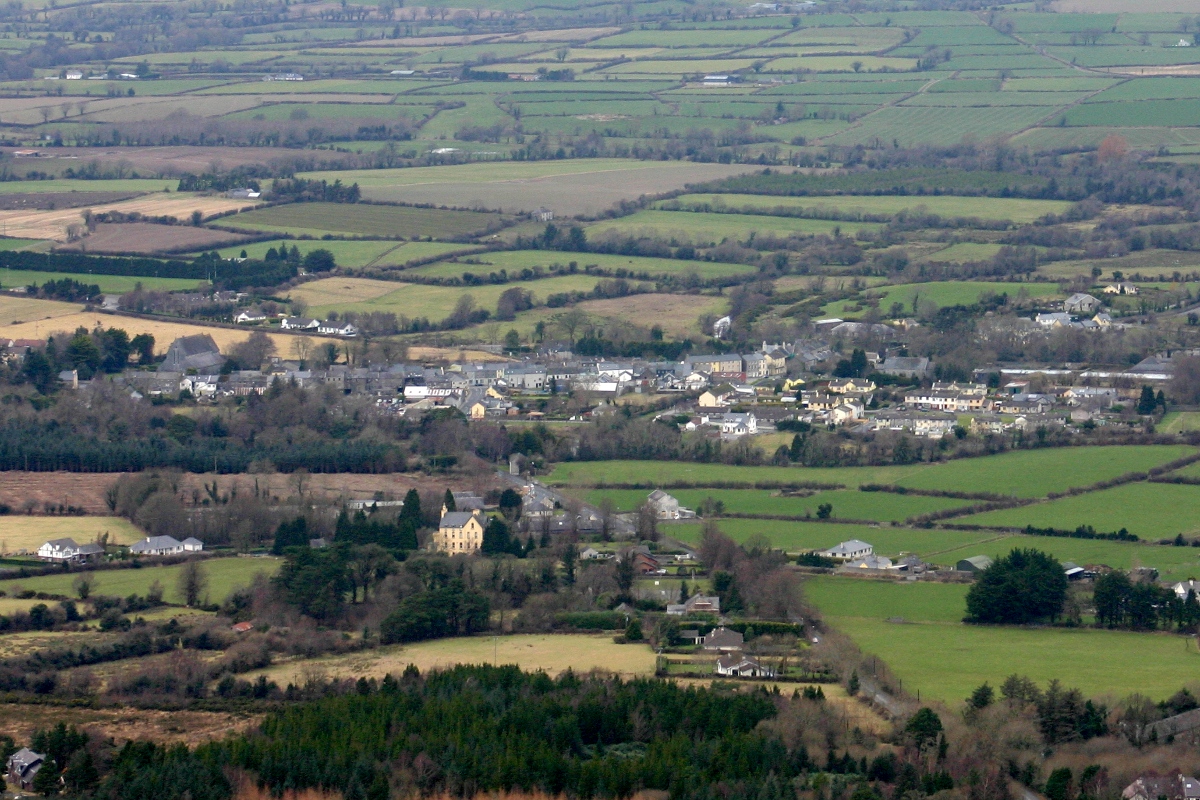 CastleCastle, unclassified · 1.3 mi
 Knockadigeen HillMountain / peak · 1.6 mi
 Kyleroe WoodWood · 4.7 mi
 Old BarracksHeritage attraction · 5.8 mi
 Nenagh Heritage CentreMuseum · 5.9 mi