What is recorded here
On level ground at base of slight depression, immediately to the S of a stream, in gently undulating pasture. Roughly D-shaped area (dims. 22m NE-SW; 16m NW-SE) defined by an earthen scarp (Wth 1.5 m; H 0.8m). At the external base of the scarp is a flat-bottomed fosse (Wth at base 2m) and a low broad external earthen bank (overall Wth 5.3m; Wth at top 2.4m; int. H 0.2-0.4m; ext. H 0.3m). The curving scarp, fosse and external bank enclose the site NE-SW. The scarped edge, fosse and external bank have been removed and the edge of the barrow straightened off SW-NW by a modern N-S orientated field drain. The monument is defined NW-NE by a W-E flowing stream. The interior is level and clear of overgrowth.
Compiled by: Jean Farrelly
Date of upload: 26 August 2011
The monument record does not grant public access. Check the route and ask the landowner before entering private land.
- What survives
- Recorded monument
Places near here
 Enclosure in BallycohyEnclosure · 404 yd
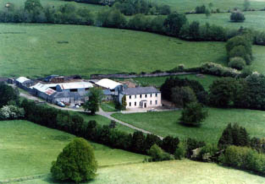 Ballinardhouse · 1062 yd
 Church in Deerpark (shronell Par.)Church · 1.0 mi
 CastleCastle, ringwork · 1.1 mi
 Enclosure in Barronstown (ormond), (shronell Par.)Enclosure · 1.2 mi
 RathduffCastle, ringwork · 2.0 mi
 Oola HillMountain / peak · 2.8 mi
 SlievenamuckMountain / peak · 4.3 mi
 Bansha ForestForest · 4.4 mi
 The RockViewpoint · 4.9 mi
 Glen of AherlowViewpoint · 5.0 mi
 Christ the KingViewpoint · 5.0 mi