
Places near here
Photo credits
- National Inventory of Architectural Heritage
- Kmcnamee, Wikimedia Commons · CC BY-SA 4.0
- This file is from the Mechanical Curator collection , a set of over 1 million images scanned from out-of-copyright books and released to Flickr Commons by the British Library. View image on Flickr View all images from book View catalogue entry for book ., Wikimedia Commons · Public domain
- Picturesque Views of the Antiquities of Ireland (1830); artist unrecorded, Wikimedia Commons · Public domain
- Dedublinfan, Wikimedia Commons
- Willow, Wikimedia Commons · CC BY 2.5
- Peter Gerken, Wikimedia Commons · CC BY-SA 2.0
- Sitomon, Wikimedia Commons · CC BY-SA 2.0
- Adareman, Wikimedia Commons · CC BY-SA 4.0
- Callanmurphy, Wikimedia Commons · CC BY-SA 4.0
- Colin Park, Geograph · CC BY-SA 2.0
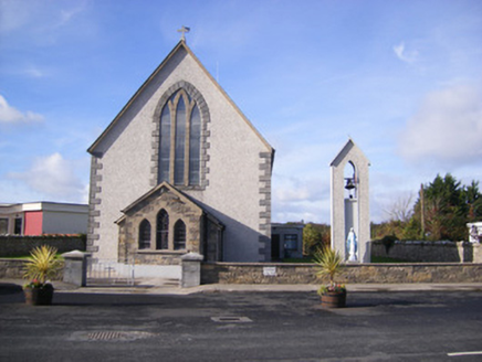 Catholic Church of Saint John the BaptistChurch/chapel · 1250 yd
Explorer Tom Catholic Church of Saint John the Baptist in Ballycannon once had the whole parish argue about the colour of the pews!…
 Páirc an Chrocaigh, Croagh/KilfinnyGAA ground · 1.3 mi
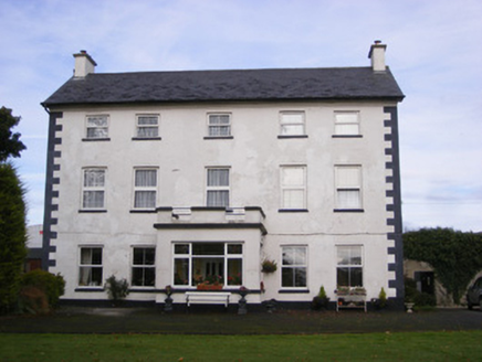 Smithfield HouseHouse · 1.3 mi
Explorer Tom Smithfield House in Croagh would introduce itself as 'the vertical one' to any stranger. It thinks its shrinking…
 Cappagh CastleCastle · 1.4 mi
Explorer Tom Cappagh Castle was saved by a hero nobody remembers anymore, probably because he got paid in stale bread or insults. He…
 Cappagh Castle (in ruins)Castle, tower house · 1.4 mi
Explorer Tom Cappagh Castle is sick of being asked why only one wall is left standing; it says the others just quit. It’s basically…
 Mick Neville ParkGAA ground · 1.8 mi
Explorer Tom Mick Neville Park announces itself at the gate, then lets Rathkeale's pitches do the arguing. Limerick's county board…
 European ash4.4 mi
Explorer Tom European ash makes a creaking sound at night that sounds exactly like someone judging your life choices. It’s just a…
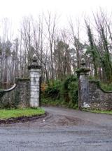 Curraghchase Forest ParkForest · 4.4 mi
Explorer Tom Curraghchase offers 774 acres of Limerick woodland, and I could lose my sense of direction before losing my appetite.…
 European Yew4.8 mi
Explorer Tom European Yew in County Limerick would have made Saint Patrick blush with its ancient, stoic attitude. The saint likely…
 Desmond CastleHeritage attraction · 5.1 mi
Explorer Tom Desmond Castle in County Limerick had its first owner planning an escape route that probably led straight into the…
 Franciscan AbbeyArchaeological place · 5.3 mi
Explorer Tom The Franciscan Abbey is just a fancy backdrop for seagulls who think they own the roof tiles. The monks left centuries…
 KnockfeerinaMountain / peak · 5.5 mi
Explorer Tom Knockfeerina thinks the road leading to it is too fancy for a humble peak, so it pretends not to be there. It has a…
More archaeology and monuments in County Limerick · All of County Limerick

What do you know about this place?Tap to add a comment or ask a question