What is recorded here
Visible as a D-shaped enclosure (dims c. 25m E-W; c. 20m N-S) defined by a stone wall on aerial photographs (GSIAP: M 222-3) and associated with abandoned houses which are marked on the 1837 and 1915 eds of the OS 6-inch map. Situated on a S-facing slope, it is not visible at ground level in reclaimed pasture but it is probably post-medieval in date. Cashel (RO045-063----) is c. 100m to the N, and cashel (RO045-066----) is c. 130m to the NE.
Compiled by: Michael Moore
Date of upload: 24 August 2010
The monument record does not grant public access. Check the route and ask the landowner before entering private land.
- What survives
- Recorded monument
Places near here
 IndicatedFairy fort / earthen ringfort · 901 yd
 Kilcommon ChurchChurch · 1190 yd
 Fairy fort / stone ringfort in Carrownamaddy (athlone South By.),knockanyconorFairy fort / stone ringfort · 1445 yd
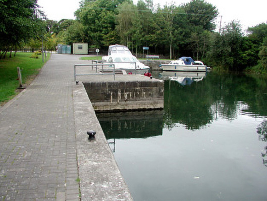 harbour/dock/portharbour/dock/port · 1.1 mi
 Carrownure BayBay · 1.4 mi
 Rindown CastleCastle, Anglo-Norman masonry castle · 1.7 mi
 Safe HarbourBay · 1.7 mi
 RindoonWood · 1.8 mi
 St. John's WoodWood · 1.9 mi
 Black IslandsIslet · 2.5 mi
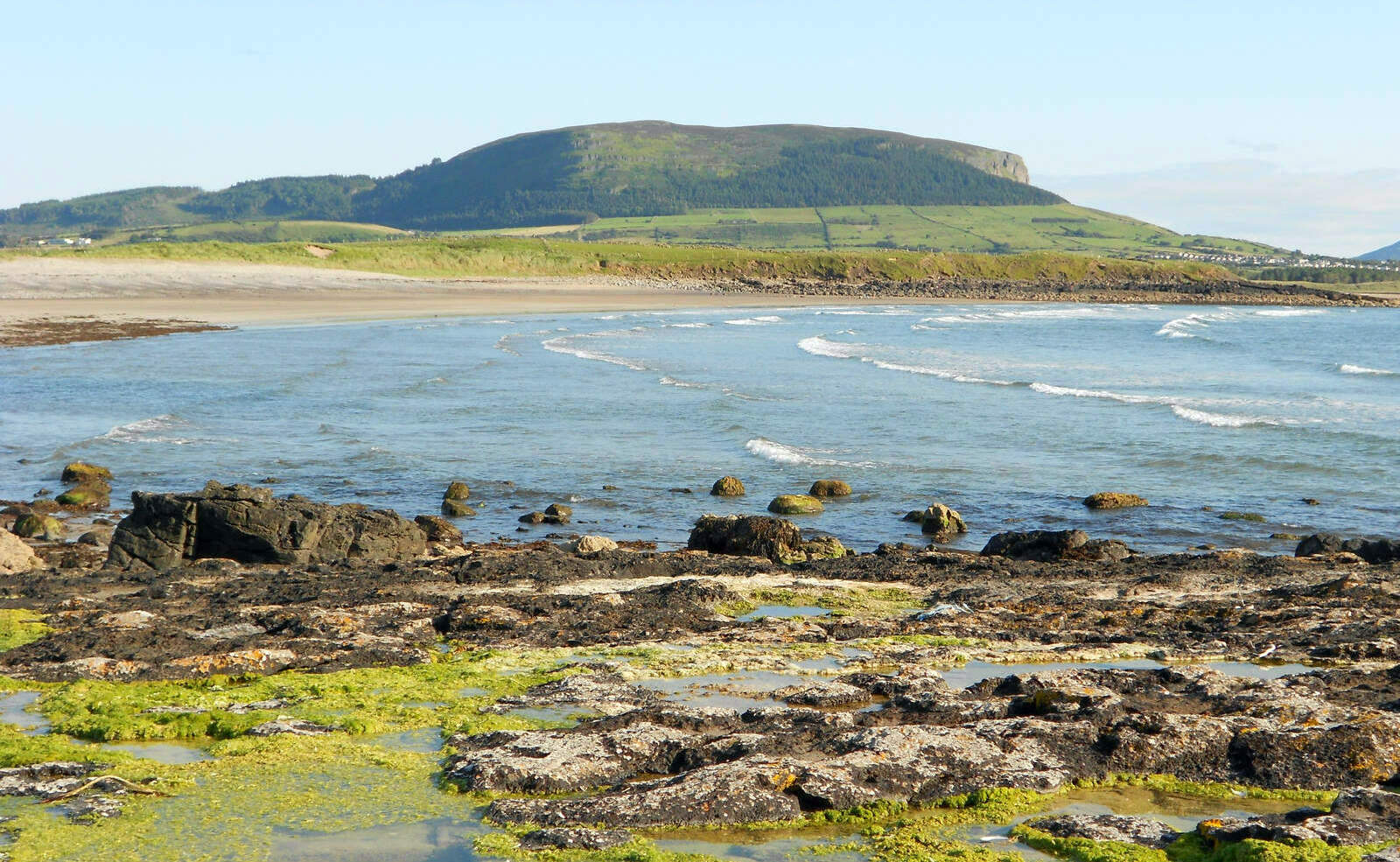 Brearoge IslandsIslet · 2.6 mi
 CastleCastle, tower house · 3.2 mi