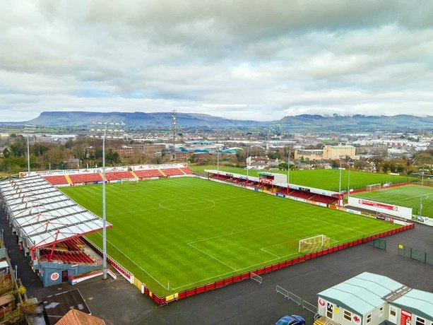
What is recorded here
In pasture, on the S-facing slope of a ridge. A circular area (int. diam. 22m) enclosed by the remains of two earthen banks with an intervening fosse. The inner bank (Wth 2.5m; int. H 0.8m; ext. H 1.8m) is best preserved along the N and E arcs. The intervening fosse (Wth 2m) is evident along the N and E arcs with the outer bank (Wth 1.6m; ext. H 1m) remaining along the NE arc. A line of stones along the W arc may also be the remains of an outer bank. The entrance (Wth. 1.8m) is at SW. There are trees along the perimeter. There is a possible house (SL033-118001-) in the SW quadrant.
The above description is derived from the published 'Archaeological Inventory of County Sligo' compiled by Ursula Egan, Elizabeth Byrne, Mary Sleeman with Sheila Ronan and Connie Murphy (Dublin Stationery Office, 2005).
Date of revised upload: 8 September 2015
A local fairy fort (ringfort/rath); wider significance not recorded.
The monument record does not grant public access. Check the route and ask the landowner before entering private land.
- What survives
- Recorded monument
Places near here
 Enclosure in Rathdoony MoreEnclosure · 664 yd
 Indicated (1838).Fairy fort / earthen ringfort · 758 yd
 RathdoonyCastle, motte · 1453 yd
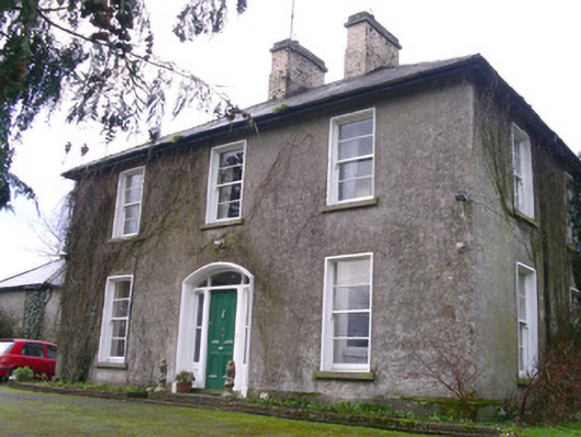 Castleview Househouse · 1674 yd
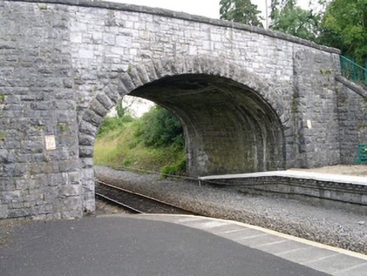 bridgebridge · 1736 yd
 Brother WalfridMemorial · 1.0 mi
 Ballymote CastleCastle · 1.0 mi
 ElderElder · 2.4 mi
 European ashEuropean ash · 3.0 mi
 Tymon's HillMountain / peak · 3.3 mi
 Caves of KeshCave · 4.3 mi
 Kesh CorannMountain / peak · 4.6 mi
Other information
Photo: Credit not shown in the picture search · Rights wording not checked; contact us if this picture should be removed