What is recorded here
On a N-facing slope in marshy pasture with good views to the N and poor views elsewhere; within an extensive multiperiod field system (CL009-059001-). Indicated on the 1840 ed. of the OS 6-inch map as a small triangular field. A ‘tear-shaped’ enclosure (33m N-S; 27m E-W) the N half of which is very semicircular defined by a modern drystone wall (H 1.4m) with a modern gap at SE. The interior is partly overgrown. The very symmetrical nature of this enclosure may be due to landscaping in this area which was once part of an estate.
Compiled by: Mary Tunney and Lynda McCormack
Date of upload: 31 January 2022
The monument record does not grant public access. Check the route and ask the landowner before entering private land.
- What survives
- Recorded monument
Places near here
 Ballybreen FortEnclosure · 597 yd
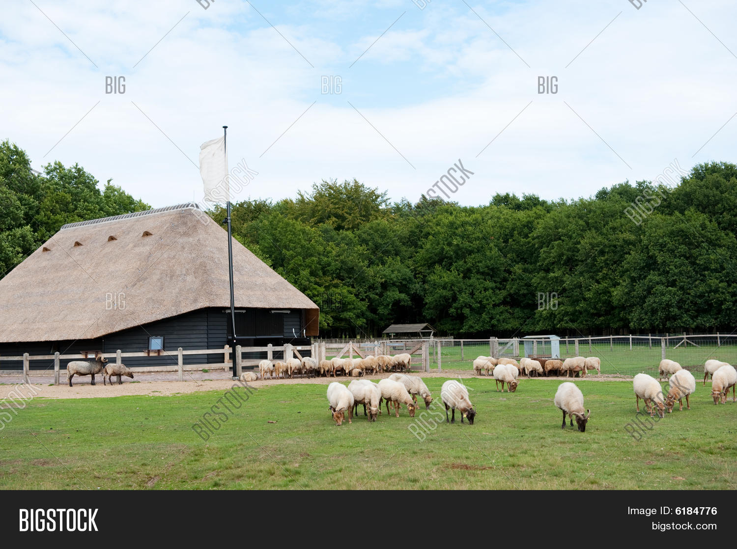 Sheep foldEnclosure · 606 yd
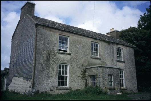 The Deaneryrectory/glebe/vicarage/curate's house · 1022 yd
 CashlaunawoggaCastle, tower house · 1055 yd
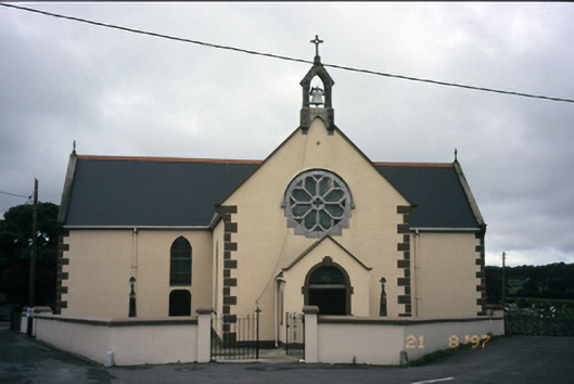 Saint Fachanan's Catholic Churchchurch/chapel · 1241 yd
 Burren Centre KilfenoraVisitor information · 1431 yd
 High CrossHeritage attraction · 1435 yd
 Site of Fanta Cas.Castle, tower house · 1.0 mi
 Ballyteigue Nature ReserveNature reserve · 2.9 mi
 Cahermacnaghten CashelHeritage attraction · 4.3 mi
 Kilmanahn GraveyardRuins · 4.5 mi
 Cullaun 5 (C5b)Cave · 4.6 mi